Drone Mapping Certification: What You Legally Need
There is no single drone mapping certification. US pilots need a Part 107 certificate (about $175 test), $5 drone registration and Remote ID. Full guide.
Drone Mapping Certification: What You Legally Need
There is no single drone mapping certification. US pilots need a Part 107 certificate (about $175 test), $5 drone registration and Remote ID. Full guide.
Table Of Content
- The short answer
- What a drone mapping certificate is, and is not
- How to get a Part 107 certificate, step by step
- Register the drone and sort out Remote ID
- The Part 107 rules that shape a mapping mission
- Where Part 107 ends and the surveying licence starts
- Optional credentials that clients recognise
- Drone mapping certification in India
- Printable compliance checklist
- Where the software side fits
- Frequently Asked Questions

By Vishal Singh Dhami, Co-Founder & Director
14 min read · Published October 26, 2026
The short answer
There is no single federal "drone mapping certification" in the United States. To fly mapping missions for pay you need three things under FAA rules: a Part 107 Remote Pilot Certificate, a registered drone and Remote ID. The certificate route costs about $175, the fee the FAA says knowledge testing centres charge for the initial test, and registration is $5 per drone for three years.
Everything else sold as a "drone mapping certificate" is optional: a training course, a vendor badge, or a professional credential such as the ASPRS UAS certifications. The one hard line is not a certificate at all. When the map you sell is legally a survey under your state's law, the work needs a licensed professional land surveyor.
| What | Issued by | Cost | Needed to sell mapping work? |
|---|---|---|---|
| Part 107 Remote Pilot Certificate | FAA | About $175 test fee | Yes, for any flight that is not purely recreational |
| Drone registration | FAA DroneZone | $5 per drone, valid 3 years | Yes |
| Remote ID | Built into the drone, or a broadcast module | Depends on hardware | Yes |
| Recurrent training | FAA online course | Free | Yes, every 24 calendar months |
| ASPRS UAS certification | ASPRS | Application and exam fees | No, optional |
| Professional land surveyor licence | State licensing board | Varies by state | Only when the deliverable is legally a survey |
What a drone mapping certificate is, and is not
Most search results for a drone mapping certificate are course providers. A course certificate proves you finished a course; it does not authorise you to fly or to sell surveys. The real structure has three layers:
- Permission to fly comes from the FAA. Part 107 for mapping is the same certificate a real estate photographer holds; there is no mapping endorsement.
- Permission to survey comes from your state.
- Credentials such as ASPRS certification are voluntary. They signal competence but grant no legal rights.
New to the outputs? Start with what drone mapping produces and the beginner's guide to drone mapping.
How to get a Part 107 certificate, step by step
- Check eligibility. At least 16; able to read, speak, write and understand English; no known physical or mental condition that would interfere with safe operation (14 CFR 107.61).
- Get an FAA Tracking Number (FTN). Create a profile in IACRA, the FAA's online certification system, before you book the test.
- Book and pass the knowledge test. The exam is "Unmanned Aircraft General - Small" (UAG), taken in person at an FAA-approved testing centre run by PSI. Budget about $175. It has 60 scored questions plus 5 unscored ones, 120 minutes, and a 70% pass mark; regulations are nearly half the questions. If you fail, you wait 14 calendar days before retesting.
- Apply in IACRA. Complete FAA Form 8710-13 and enter the 17-digit knowledge test exam ID from your test report. The test result can take 48 to 72 hours to appear in IACRA.
- Clear TSA vetting. After the TSA security background check, the FAA emails instructions for printing a temporary certificate from IACRA. It is valid for up to 120 calendar days, and the permanent card follows by mail.
- Stay current. Pass the test or complete the free online recurrent course (ALC-677 on FAASafety.gov) at least once every 24 calendar months (14 CFR 107.65), and carry the certificate and photo ID when you fly.
Holders of a Part 61 pilot certificate with a flight review in the last 24 calendar months can skip the test and take the FAA's online training instead.
Register the drone and sort out Remote ID
Registration costs $5 per drone for three years. Under Part 107 each drone gets its own number, marked on the aircraft before it flies. The 0.55 lb exception in 14 CFR 48.15 covers only recreational flying, so even a sub-250 g drone flown for a client needs registering.
Since September 16, 2023, every drone that needs registration must meet the Remote ID rule in one of three ways: a standard Remote ID drone, a broadcast module, or flying inside an FAA-Recognized Identification Area. For Part 107 work, the drone's or module's serial number goes on the registration certificate.
The Part 107 rules that shape a mapping mission
| Rule | The limit | What it means for mapping |
|---|---|---|
| Altitude (107.51) | 400 ft above ground, or within 400 ft of a structure up to 400 ft above its top | Caps height, and so photo footprint. Plan GSD with the GSD calculator |
| Visual line of sight (107.31) | You or a visual observer must see the drone unaided, apart from corrective lenses | Split large sites into blocks. Beyond sight needs a waiver |
| Weather (107.51) | 3 statute miles visibility; 500 ft below and 2,000 ft horizontally from cloud | Low-cloud days are no-fly days |
| Controlled airspace (107.41) | Class B, C, D and surface Class E need ATC authorisation | LAANC for near real-time approval; DroneZone where LAANC is not available |
| Night (107.29) | Test or training completed after April 6, 2021, plus anti-collision lights visible for 3 statute miles. Civil twilight needs the lights too | Legal, with the right training record and lights |
| Over people (107.39) | Not over people unless they are part of the operation, under cover, or the drone meets Category 1-4 | Site workers with no role in your flight are not participants. Route around them |
| Accidents (107.9) | Report within 10 calendar days if anyone is seriously injured or property damage exceeds $500 | Keep incident records with the job file |
LAANC requests above the pre-approved altitude on a UAS Facility Map go to "further coordination", which the FAA asks for at least 72 hours ahead, and no authorisation replaces checking NOTAMs and temporary flight restrictions. For beyond-visual-line-of-sight work, the FAA proposed a dedicated rule, Part 108, on August 7, 2025; until a final rule is in force, BVLOS under Part 107 means a waiver through DroneZone.
Where Part 107 ends and the surveying licence starts
Part 107 makes the flight legal. It says nothing about whether you may sell the map.
Surveying is licensed state by state. The model law NCEES publishes for state licensing boards (August 2025 edition) defines surveying as professional services using "mathematics, geodesy, and photogrammetry" to make geometric measurements and turn them into maps and data, including determining "the configuration or contour of the earth's surface" and creating electronic data from that work. It treats a map or database as a surveying deliverable when it carries positional accuracy, "whether that accuracy is stated, regulated, or implied."
That last phrase is the one drone operators run into: a contour map or stockpile volume implies accuracy even without a disclaimer.
North Carolina shows how far a board can take it. In 360 Virtual Drone Services v. Ritter, the Fourth Circuit ruled on May 20, 2024 that the state could require a surveyor's licence to sell aerial maps and 3D models containing measurable data. The court noted the operator could still take aerial photos; what he could not do without a licence was provide the measurable data. The US Supreme Court declined to hear the case on April 20, 2026 and denied rehearing on June 15, 2026.
In practice, sort your work into two piles:
- Usually outside surveying: aerial photos and video, visual progress records, marketing imagery, inspection imagery without measurements.
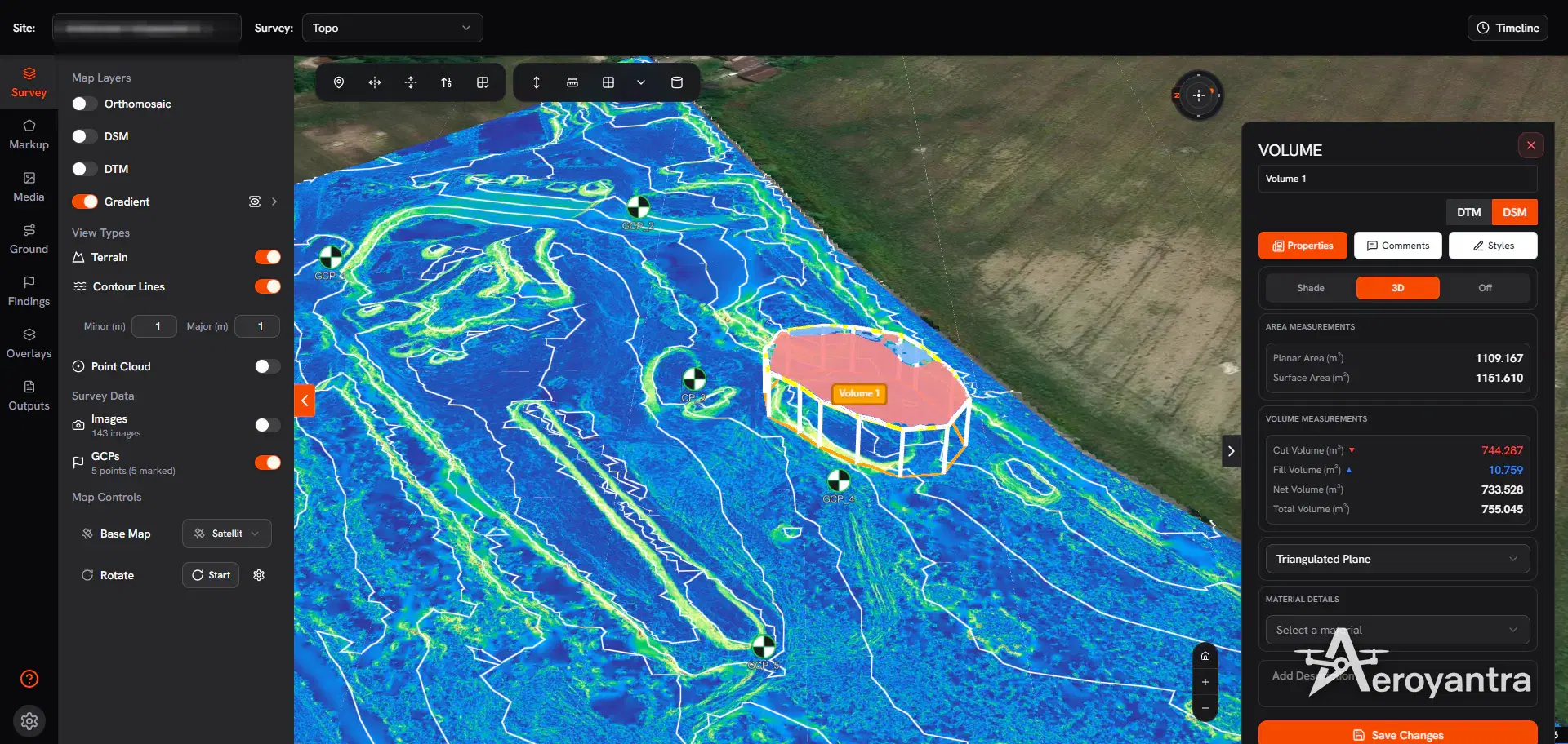
- Check with your state board first: topographic maps and contours, stockpile and earthwork volumes, boundary or property lines, as-built positions, anything delivered with coordinates and an accuracy figure.
For the second pile, partner with a licensed surveyor who takes responsible charge of the deliverable, work under one, or get licensed yourself. The NCEES model law asks for a qualifying education, the Fundamentals of Surveying (FS) and Principles and Practice of Surveying (PS) exams, and four years of progressive surveying experience; states set their own versions.
Not legal advice
Surveying law differs by state, and boards differ in how they read drone deliverables. Before you sell topographic or volumetric work in a new state, read that board's rules or ask the board directly.
Optional credentials that clients recognise
The nearest thing to a drone survey certification is from ASPRS (the American Society for Photogrammetry and Remote Sensing), which runs two UAS-specific certifications:
| Credential | Experience required | Other requirements | Recertification |
|---|---|---|---|
| Certified Mapping Scientist, UAS | 3 years in mapping sciences or photogrammetry, plus 3 more years in UAS | Four references, code of ethics, written exam | Every 5 years |
| Certified UAS Technologist | 3 years total, 2 of them in UAS | Four references, written exam | Every 3 years |
ASPRS also certifies photogrammetrists and mapping scientists in remote sensing, lidar and GIS; exams run through Prometric, with remote proctoring available. Ignore the FAA's TRUST test for business purposes: it is for recreational flyers and grants no authority to fly commercially.
What clients check most is simpler: your certificate number, your registration and evidence the deliverable is accurate. For that last one, the GCP placement guide covers withholding independent check points, and RTK and PPK workflows cover the positioning side.
Drone mapping certification in India
India regulates pilots, drones and airspace nationally, under one set of rules.
- The rules. The Drone Rules 2021 were notified on August 25, 2021. The Drone (Amendment) Rules 2022 replaced the old drone pilot licence with a Remote Pilot Certificate (RPC), and a later amendment dropped the passport requirement in favour of any government ID with address proof.
- Who needs an RPC. Anyone flying a drone, apart from nano drones (250 g or less), micro drones (over 250 g, up to 2 kg) flown for non-commercial use, and certain research and testing operations.
- Eligibility. Age 18 to 65, class 10 passed or equivalent, and training completed at a DGCA-authorised Remote Pilot Training Organisation (RPTO). DGCA had approved 244 RPTOs by February 2026. The certificate is endorsed for a drone category and class, and you fly only what it covers.
- Fee and validity. When the 2021 rules came in, the pilot fee was set at ₹100 for all drone categories, with validity of 10 years.
- Drone registration. Every drone needs a Unique Identification Number (UIN) unless exempt. Pilot certification and drone registration have moved from Digital Sky to DGCA's eGCA portal; the airspace map and flight permissions remain on Digital Sky.
- Airspace zones. Green zone: no permission needed up to 400 ft (120 m), or 200 ft (60 m) in the band 8 to 12 km from an operational airport's perimeter. Yellow zone: permission from the relevant air traffic control authority. Red zone: Central Government permission only.
- Penalties. The maximum penalty for violations is ₹1 lakh.
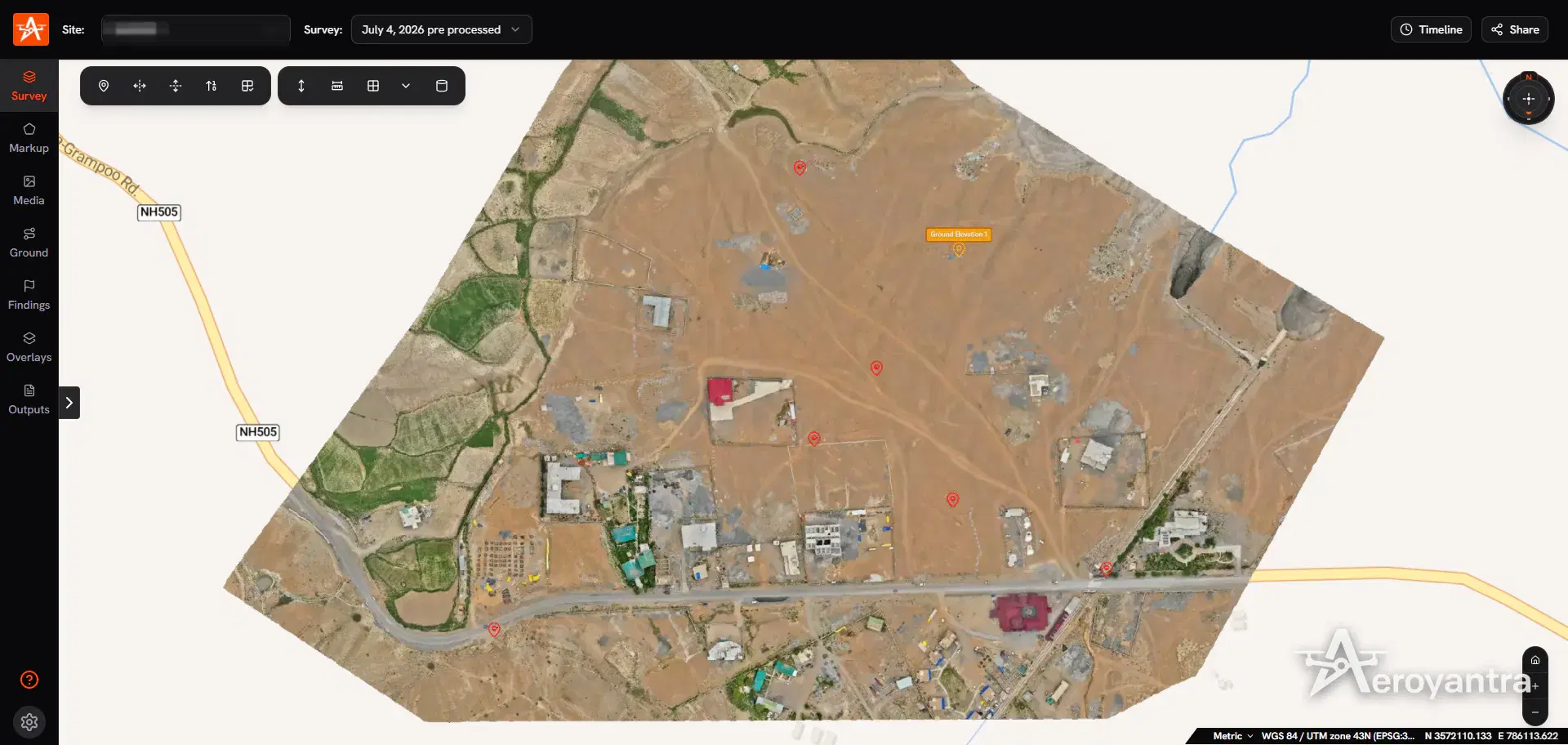
If you need the survey rather than the certificate, Aeroyantra runs done-for-you aerial surveys in India with DGCA-certified pilots, operating under Drone Rules 2021 with Digital Sky airspace checks, and typically delivers within 24-48 hours of the flight. See the full list of drone survey services, the DGPS ground control service, or the 2026 drone survey cost guide for India.
Printable compliance checklist
Business setup (review quarterly)
- Every remote pilot in command holds a Part 107 certificate
- Recurrent training completed within the last 24 calendar months, record on file
- Every drone registered ($5, 3 years), number marked on the aircraft, expiry dates in the calendar
- Remote ID: standard Remote ID drone or broadcast module, serial number on the registration certificate
- Night operations: test or training dated after April 6, 2021, and anti-collision lights fitted
- Waivers on file for any BVLOS or other waived operation
- State surveying rules checked for every state you sell into; licensed surveyor in place for survey deliverables
- Accident reporting process written down (10 calendar days)
Before each mapping flight
- Airspace class checked; LAANC or DroneZone authorisation in hand for controlled airspace
- NOTAMs and temporary flight restrictions checked
- Weather meets 3 statute miles visibility and cloud clearance (500 ft below, 2,000 ft horizontal)
- Mission at or below 400 ft above ground; whole block within visual line of sight, observer briefed if used
- Flight lines avoid people who are not part of the operation
- Certificate and photo ID on you
- Ground control and check points surveyed; coordinate system and vertical datum recorded
- Raw images and flight logs backed up before leaving site
India operations
- Pilot holds a valid DGCA Remote Pilot Certificate for the drone's category and class
- Drone has a UIN
- Zone checked on the Digital Sky airspace map; ATC permission for yellow zones, Central Government permission for red
Where the software side fits
No certificate is needed to process drone imagery; the licensing question follows what you deliver, not the tool. What software can do is make the deliverable easy to defend.
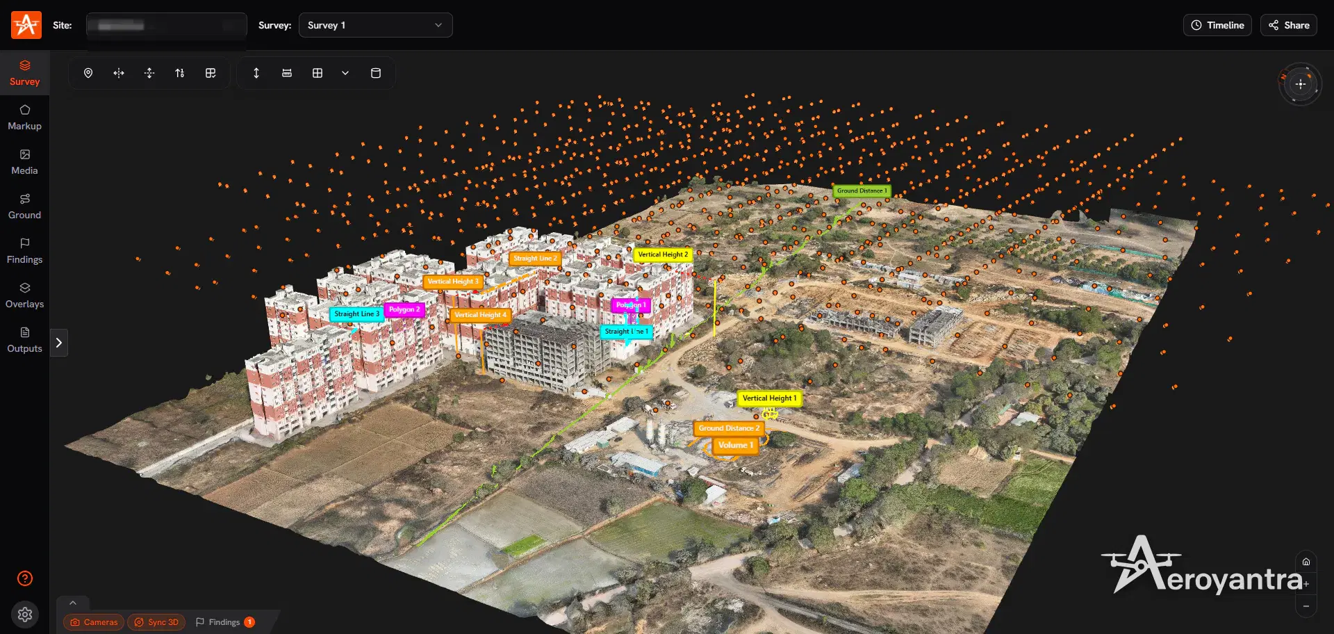
Aeroyantra processes geotagged photos from any drone in the browser, starting at $0 with pay-as-you-go credits at $2.50 each (1 credit = 1 gigapixel). A typical 400-image map shot on a 20 MP camera uses 8 credits, about $20. Check which aircraft and payloads work in the supported drones and cameras guide, and compare plans on the pricing page.
For survey-adjacent work, Aeroyantra imports GCPs from CSV, lets you hold points back as check points, and exports a GCP quality report with RMSE in X, Y and Z as PDF or CSV, which gives a licensed surveyor something concrete to review. With RTK or PPK georeferencing and properly placed ground control, Aeroyantra achieves 2-3 cm horizontal accuracy. Contours, DSM and DTM outputs and DXF exports are covered in topographic survey software.
Drone Mapping Business: How to Start, Price and Get Clients
What it takes to turn a Part 107 certificate into a paying mapping business: insurance, equipment and job costing.
Comparing platforms? See the best drone mapping software comparison, or the Angel Wings case study on an Oregon owner-operator running survey work on Aeroyantra.
Checked in October 2026 against 14 CFR Part 107 and Parts 48 and 89, FAA guidance on becoming a remote pilot, the PSI UAG bulletin, the NCEES Model Law (August 2025), ASPRS certification guidelines, Fourth Circuit No. 23-1472, Supreme Court docket 24-279 and PIB drone publications (2022, 2026). Rules change; confirm with the FAA, your state board or DGCA.
Frequently Asked Questions
Do I need a license to do drone mapping?
In the US, yes. Any drone mapping flight that is not purely recreational falls under Part 107, so the pilot needs an FAA Remote Pilot Certificate, the drone must be registered ($5 per drone for three years) and it must meet Remote ID. There is no separate mapping licence. If the map you sell counts as land surveying under your state's law, the work also needs a licensed professional land surveyor. In India, drone pilots need a DGCA Remote Pilot Certificate.
How much does Part 107 cost?
The FAA says knowledge testing centres charge about $175 for the initial Part 107 knowledge test. Registering each drone costs $5 for three years. The recurrent training you need every 24 calendar months is a free online FAA course, so staying current costs time rather than money.
Is there a certification for drone surveying?
Not a federal one. The FAA certifies the pilot, not the survey. ASPRS offers voluntary credentials, Certified Mapping Scientist, UAS and Certified UAS Technologist, which require documented experience, references and a written exam. The legal right to sell surveys comes from a state professional land surveyor licence; the NCEES model law sets that at a qualifying education, the FS and PS exams and four years of surveying experience, and states vary.
How do I get a drone pilot licence in India?
Since the Drone (Amendment) Rules 2022 there is no separate drone pilot licence; the credential is a DGCA Remote Pilot Certificate. You must be 18 to 65 years old, have passed class 10 or equivalent, and complete training at a DGCA-authorised Remote Pilot Training Organisation. Pilot certification and drone registration (UIN) now run on DGCA's eGCA portal, while the airspace map stays on Digital Sky. Nano drones, and micro drones flown non-commercially, need no certificate.
How long does a Part 107 certificate last?
Under 14 CFR 107.65 you may only act as remote pilot in command if you passed the knowledge test or completed recurrent training within the previous 24 calendar months. The FAA's recurrent course is online and free, so most mapping pilots retake it before the 24-month mark and keep the completion record on file.
Do I need a certificate to process drone maps in software?
No certificate is needed to use mapping software. The FAA regulates the flight, and state surveying law regulates selling survey deliverables, which can include processed data, so the licensing question follows the deliverable rather than the software. Aeroyantra processes geotagged photos from any drone in the browser, from $0 to start at $2.50 per credit, where a typical 400-image map at 20 MP costs 8 credits, or $20.
Keep exploring
Related services, platform features and guides
- ArticleDrone Mapping Business: How to Start, Price and Get ClientsHow to start a drone mapping business in the US: Part 107, the surveying-license line, insurance, equipment and job costing from $20 of processing per map.Read more
- ArticleBest Software for Drone Mapping 2026: 5 Tools by Real CostThe best software for drone mapping in 2026, by real cost: Aeroyantra from $0 at $2.50/credit, Pix4D $49-$4,990+, DroneDeploy $329-$499 per seat/month.Read more
- Technical guideGCP Placement Guide for Survey-Grade AccuracyUse 5-10 ground control points: one near each corner, one central, spread in elevation. Keep a third as check points for 2-3 cm horizontal accuracy.Read more
- Platform featureRTK Drone Mapping: RTK vs PPK vs GCP Accuracy GuideHow RTK, PPK and ground control set drone mapping accuracy, when you still need GCPs, and how Aeroyantra reports check-point RMSE. From $2.50 per credit.Read more
- GuideDrone Mapping: How It Works, Outputs, Software and CostWhat drone mapping is, how photos become orthomosaics, DSM/DTM, contours and 3D models, which drones and software to use, and what it costs in 2026.Read more
- GuideAerial Survey Services in India | Drone Aerial MappingAerial survey and mapping across India by DGCA-certified drone teams: photogrammetry deliverables in 24-48 hours and LiDAR in 48-72 hours.Read more
Related Articles
Explore more insights and stories from our blog
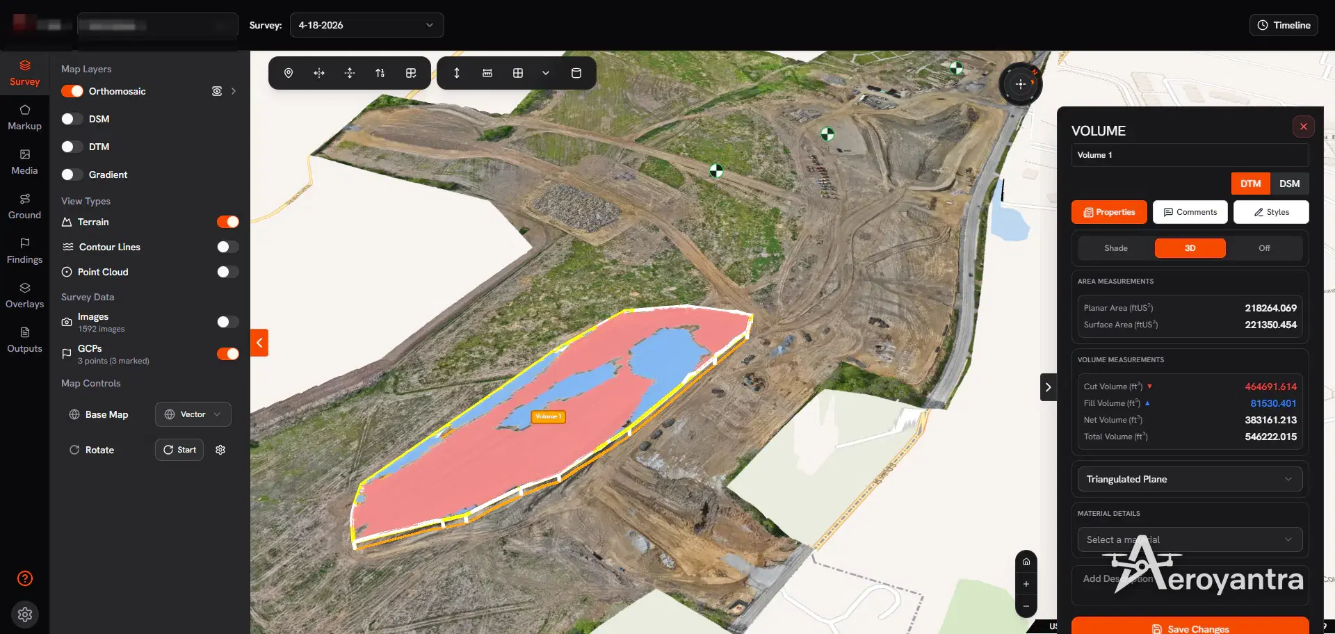
Drone Mapping Business: How to Start, Price and Get Clients
How to start a drone mapping business in the US: Part 107, the surveying-license line, insurance, equipment and job costing from $20 of processing per map.
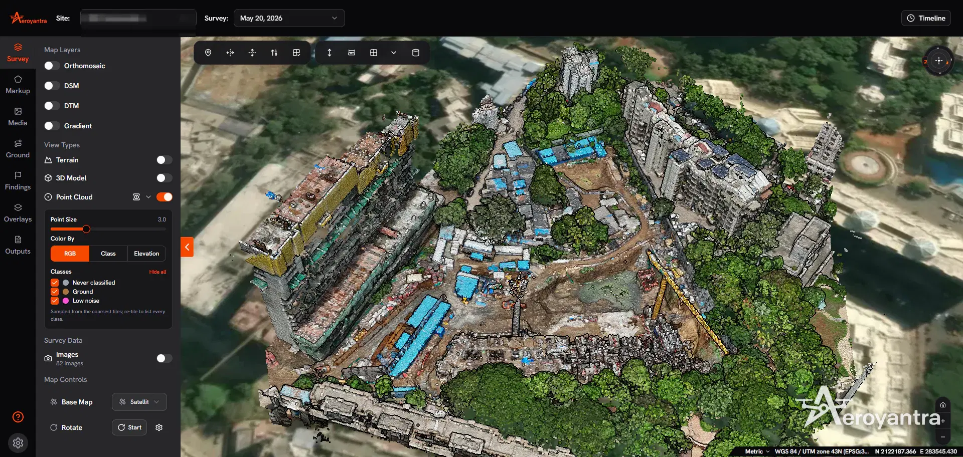
Best Software for Drone Mapping 2026: 5 Tools by Real Cost
The best software for drone mapping in 2026, by real cost: Aeroyantra from $0 at $2.50/credit, Pix4D $49-$4,990+, DroneDeploy $329-$499 per seat/month.

How to Verify Contractor Work Before Invoicing with Drones
A step-by-step method for owners and PMCs to verify contractor quantities with drone surveys before approving an RA bill. Costs, accuracy, and workflow.