
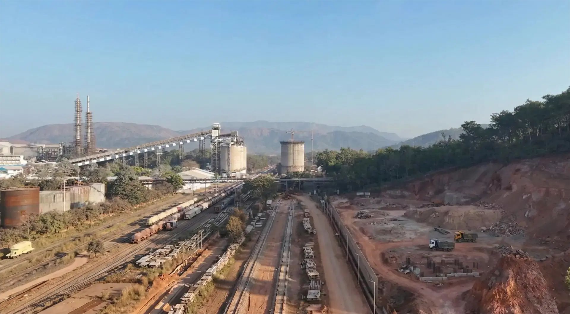
How to Verify Contractor Work Before Invoicing with Drones
A step-by-step method for owners and PMCs to verify contractor quantities with drone surveys before approving an RA bill. Costs, accuracy, and workflow.
How to Verify Contractor Work Before Invoicing with Drones
A step-by-step method for owners and PMCs to verify contractor quantities with drone surveys before approving an RA bill. Costs, accuracy, and workflow.

By Vishal Singh Dhami, Co-Founder & Director
6 min read · Published October 11, 2026
The Short Answer
To verify contractor work before invoicing, fly a drone survey at the start of the job and again just before each bill, and pay against measured quantities rather than claimed ones. Aeroyantra compares every survey against the baseline and the approved design, giving the owner or PMC measured cut/fill volumes, typically within 2-3% for earthwork, and a time-stamped aerial record of what is actually on site. In India a verification survey typically costs ₹25,000-₹60,000 per visit, which is small against the value of a single disputed earthwork bill.
The rest of this guide covers who should commission the survey, how often to fly, what to check, and where the method has limits.
Why Bills Get Disputed in the First Place
Most billing disputes are not about fraud. They are about two parties measuring the same work differently and nobody having a record both sides accept.
On earthwork the gap is usually measurement method. Manual cross-sections are taken at intervals and interpolated between. On a large package that interpolation introduces quantity variance of 5% or more, and the variance compounds bill after bill until it surfaces as a dispute at the end of the month or at final account.
A drone survey changes the measurement, not just the speed. Instead of points at 20 m intervals, the surface is captured as millions of points across the whole site. The volume is computed from the surface itself rather than estimated between sections.
Who Should Commission the Survey
The owner or the PMC, not the contractor.
This is the single most important design decision. A survey commissioned by the party submitting the bill is a contractor report with better pictures. A survey commissioned by the party paying the bill is independent evidence.
Aeroyantra surveys are commissioned and controlled by the owner. Each flight produces a georeferenced, time-stamped record of actual site conditions that does not depend on any contractor-submitted report or progress claim. Contractors benefit too: a measured record shortens certification and removes the argument from the conversation.
The Verification Workflow, Step by Step
1. Fly a baseline before ground-break
Everything is measured against this survey. Without a baseline, there is no independent starting surface, and the first bill has nothing to be checked against. Fly it after site clearance and before any cut or fill begins.
Deliverables: orthomosaic, DSM, DTM, and contours tied to the project's coordinate system and benchmarks.
2. Agree the measurement basis with the contractor up front
Before the first bill, agree in writing:
- The coordinate system and benchmarks both parties will use
- That bill quantities will be checked against drone-measured volumes
- The tolerance within which the claimed quantity is accepted without re-measurement
- What happens when a claim exceeds the tolerance
This is a contract-administration step, not a technical one, and it is the step most often skipped. Agreeing it in advance turns the survey from an audit the contractor resents into a measurement both sides rely on.
3. Fly before each billing cycle
Time the survey to land just before the bill is due. During earthworks this is typically weekly or fortnightly; during structural and external works, fortnightly or monthly.
Aeroyantra delivers orthomosaics, DSM, DTM and cut/fill volume reports within 24-48 hours of the flight, so a survey flown early in the week has measured quantities ready before certification.
4. Compare three surfaces
Each verification survey is compared against:
- The baseline: total cut and fill to date
- The previous survey: cut and fill in this billing period
- The design surface: where the work is ahead of, behind, or off design grade
The output is a zone-by-zone volume table, a cut/fill heatmap, and deviation from design grade. Breaking quantities down by zone or chainage matters: a total that matches can still hide one zone over-claimed and another under-built.
5. Reconcile against the claimed quantities
Put the contractor's claimed quantity for the period next to the measured quantity, zone by zone. Within the agreed tolerance, certify. Outside it, query that zone specifically and attach the heatmap and orthomosaic for the period.
A specific, zone-level query backed by a dated aerial record is resolved far faster than a disagreement about a total.
6. Keep the record
Every survey is archived with its date. That archive answers questions the bill alone cannot: when a stockpile was placed, when a layer was laid, what the site looked like before a variation was raised. It is also the evidence base if a dispute does reach arbitration.
What It Costs
From our 2026 India drone survey pricing guide:
| Survey type | Typical cost in India |
|---|---|
| Construction progress monitoring | ₹25,000 - ₹60,000 per visit |
| 3D modelling and volumetrics | ₹1,500 - ₹4,500 per acre |
| Recurring weekly or monthly programmes | 20-30% volume discount |
GST at 18% applies to drone survey services. Mobilisation is charged separately on most quotes, so confirm whether it is included.
The useful comparison is not survey cost against no survey. It is survey cost against the variance it removes. On an earthwork package where manual methods carry 5% quantity variance, the difference between 5% and 2-3% on a single large bill typically exceeds the cost of a full season of verification flights.
How Accurate It Is
| Typical value | |
|---|---|
| Survey accuracy (RTK/PPK with ground control) | 2-5 cm |
| Earthwork volume accuracy | within 2-3% |
| Manual cross-section variance on large packages | 5% or more |
Accuracy depends on ground control, flight parameters, and surface conditions, so specify it in the scope and ask for the accuracy report with each delivery.
Where the Method Has Limits
Drone verification is strong on anything visible from the air and weak on anything that is not.
- Earthwork, stockpiles, grading, embankments, layer thickness between surveys: strong. This is where the method was built.
- Work covered before the next flight: a layer placed and buried between two surveys is only measured as part of the combined change. Fly before each layer is covered if layer-level quantities matter.
- Dense vegetation: photogrammetry measures the top of the canopy. Use LiDAR where ground beneath vegetation must be measured.
- Internal and below-ground work: reinforcement, internal finishes, and services cannot be verified from the air. These still need inspection and the measurement book.
The right model is drone measurement for bulk quantities, combined with conventional inspection for what the drone cannot see.
In Practice
At the NALCO facility in Odisha, Vedant Construction moved from manual ground surveys to regular drone surveys processed on Aeroyantra. Discrepancies between planned and actual earthwork quantities that used to surface in the monthly reconciliation now appear in the weekly survey, and NALCO receives consistent volume and progress reports every cycle. Read the case study.
Next Steps
- Drone construction surveys: scope, deliverables and turnaround for construction projects across India
- Construction monitoring: the five survey phases Aeroyantra recommends, from baseline to as-built
- Drone survey vs total station: when each method is the right one
Planning a verification programme for an active project? Contact our team and we will scope the baseline and billing-cycle surveys with you.
Related Articles
Explore more insights and stories from our blog
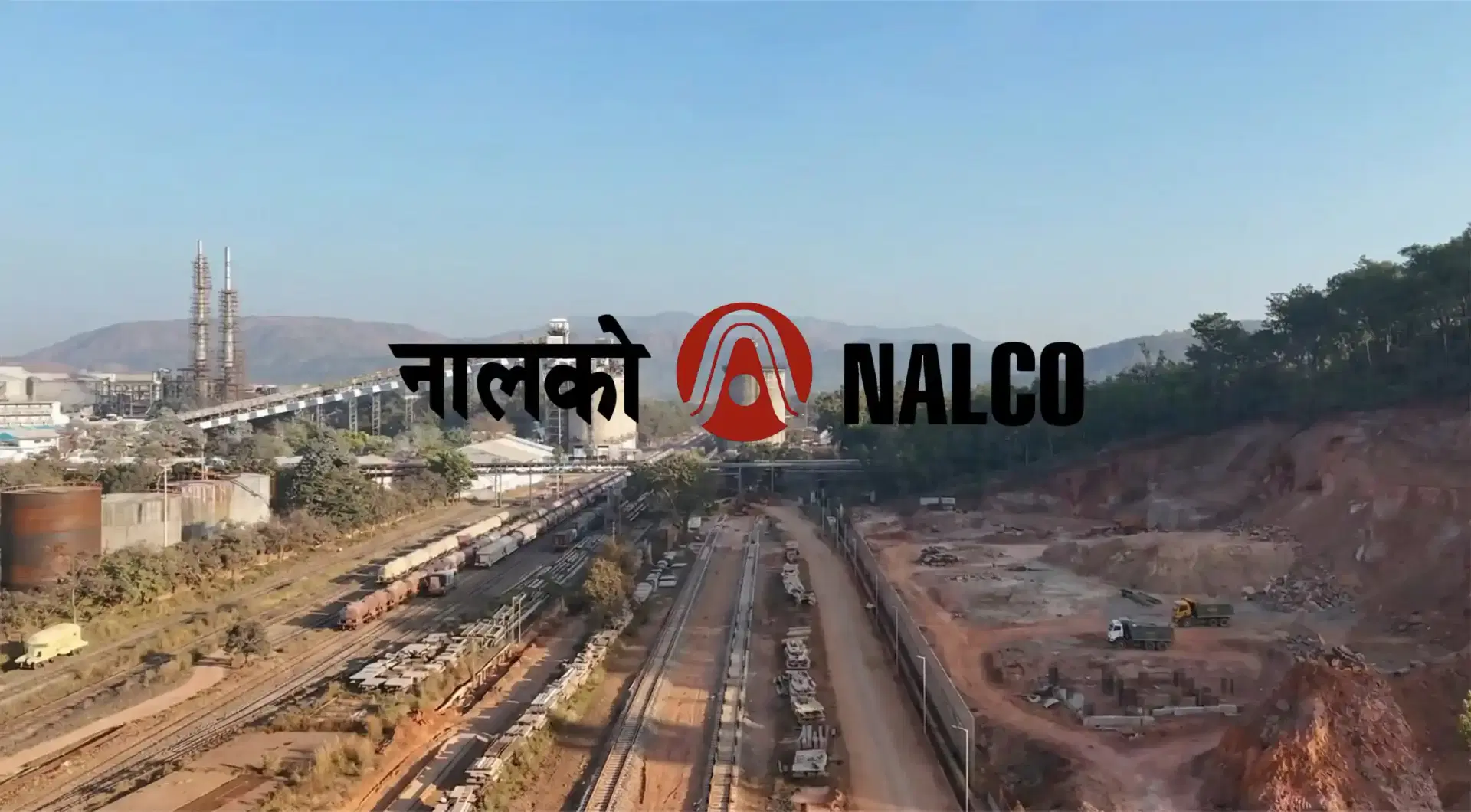
Drone Survey Case Study: Vedant x NALCO Odisha
How Vedant Construction replaced manual surveys with drone mapping at NALCO Odisha. 80% time savings, accurate stockpile volumes, faster reporting.
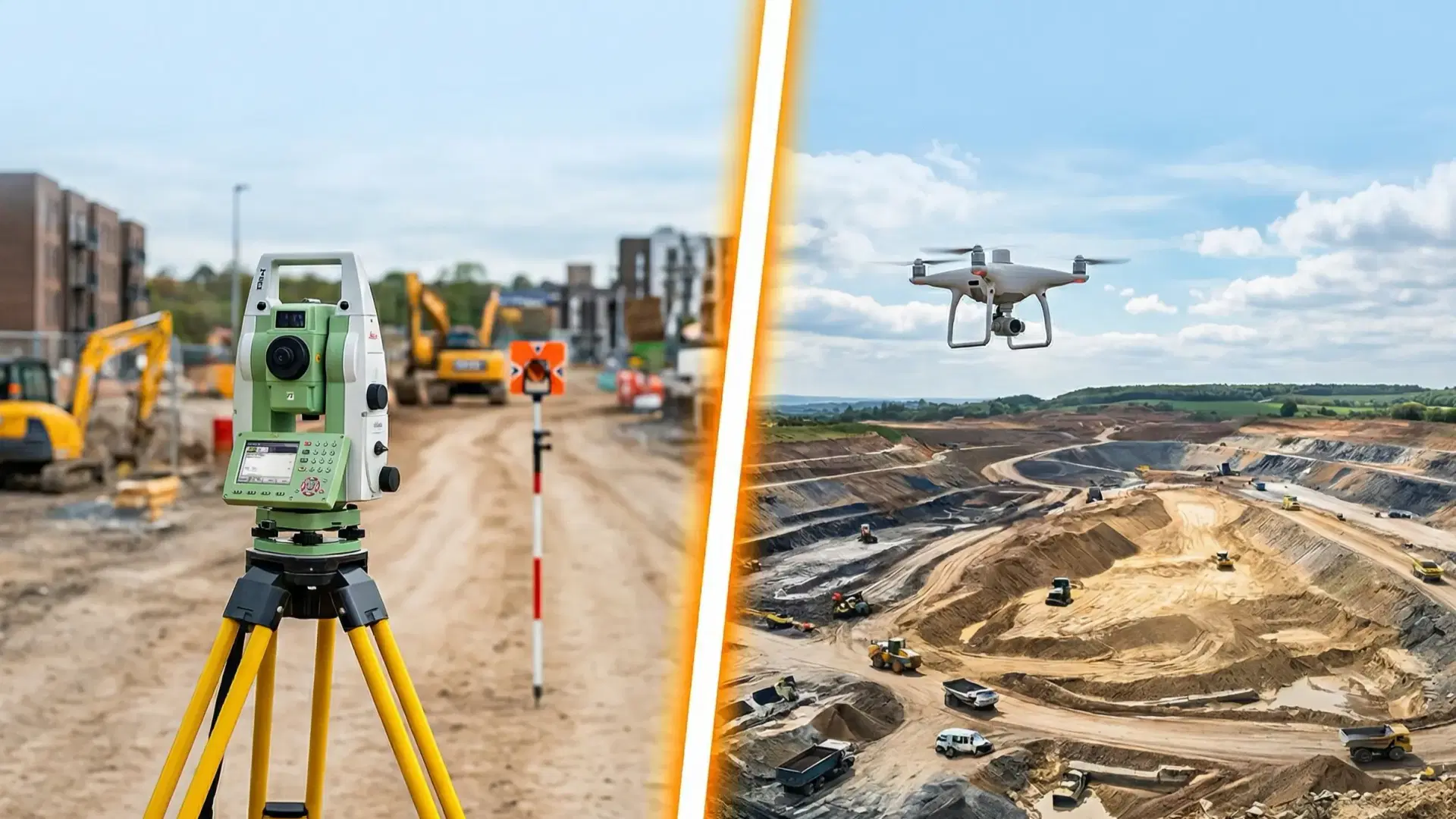
Drone Survey vs Total Station: Full Comparison
Drone survey vs total station compared on accuracy, speed, cost, and terrain. When to use each for land, mining, and construction survey projects.
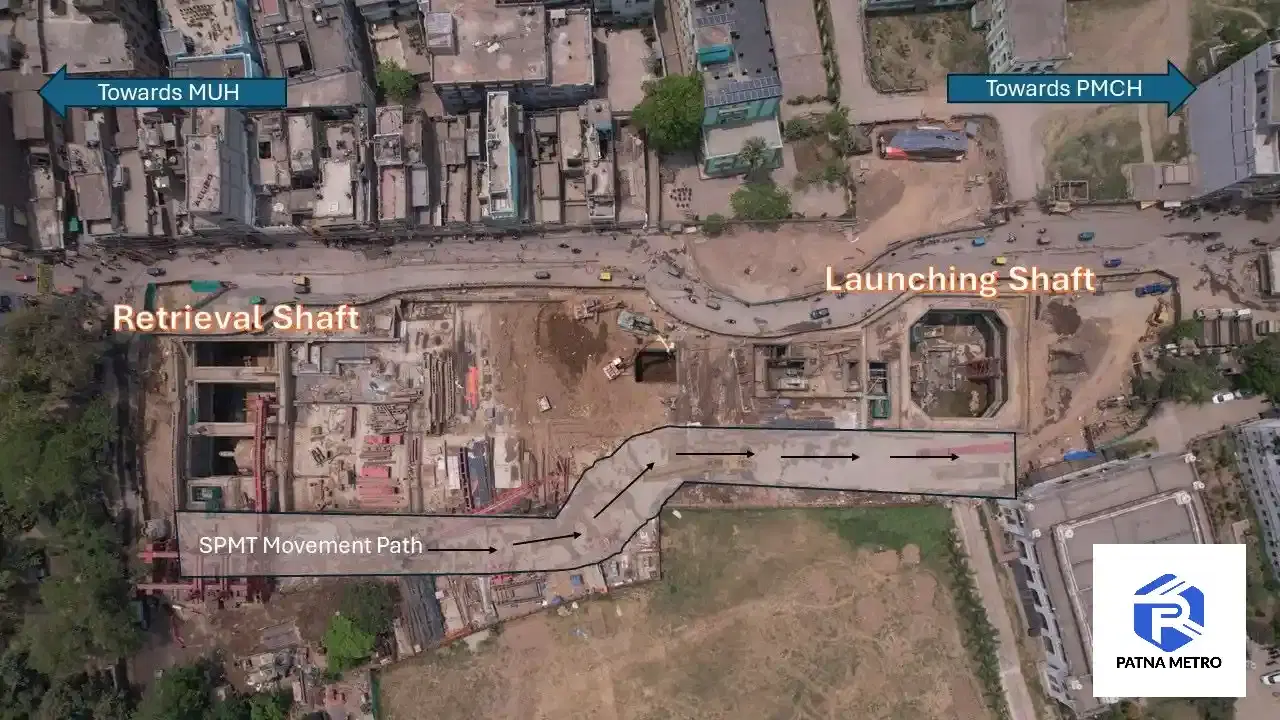
Drone Survey Case Study: Patna Metro Planning
How drone aerial survey improved construction planning on the Patna Metro project. Faster data, better site insights, and lessons from an infra pilot.