Drone Intelligence Built for Every Project Vertical
Aeroyantra supports resource, infrastructure, energy, industrial, and enterprise teams with repeatable survey workflows, measurable outcomes, and engineering-ready deliverables.
Enterprise-Ready Model
Compliance-aligned capture and documentation across regulated industries.
Predictable reporting cadence for teams that depend on frequent site visibility.
Outputs built for PM, survey, design, and leadership decision workflows.
Coverage
From mines and corridors to plants and city-scale programs, each workflow is tuned to the operational needs of that industry.
Industry Catalog
Explore Specialized Workflows by Industry
Every industry page outlines practical applications, expected deliverables, and how teams use aerial intelligence in real project conditions.

Mining & Quarrying
Survey-grade mapping for stockpiles, benches, haul roads, and lease compliance reporting.

Construction
High-frequency project monitoring from earthwork to handover with measurable progress visibility.
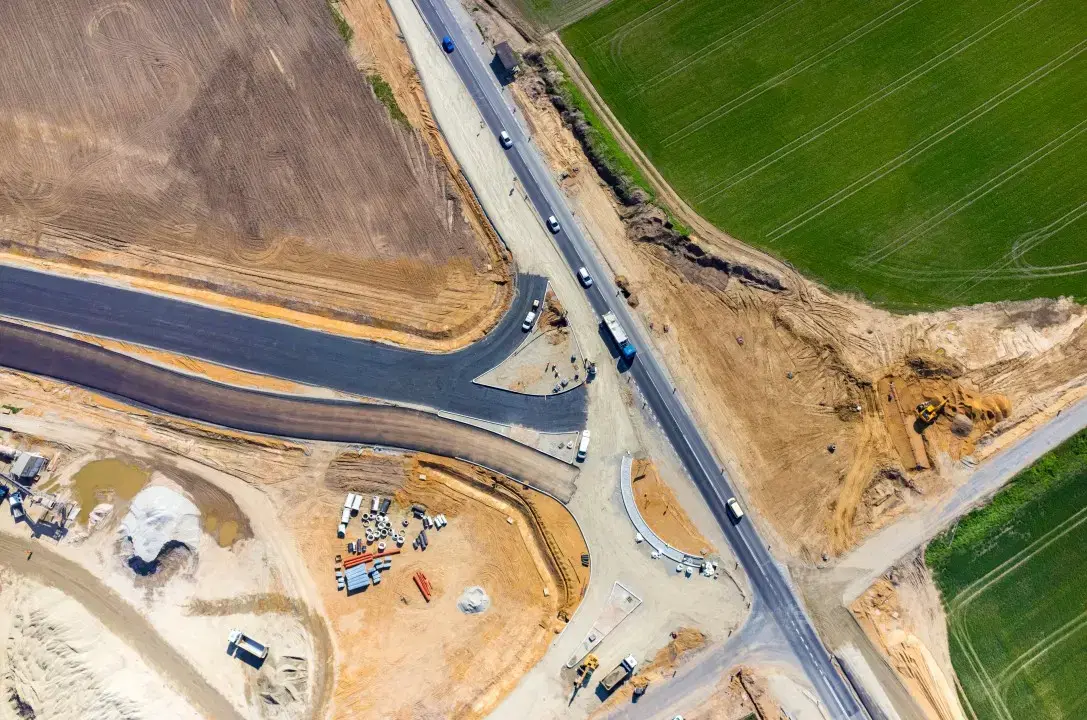
Road & Highway
Corridor intelligence for linear projects with consistent alignment and earthwork insights.

Rail & Linear Infra
ROW surveillance and embankment visibility for long-distance corridors and package execution.
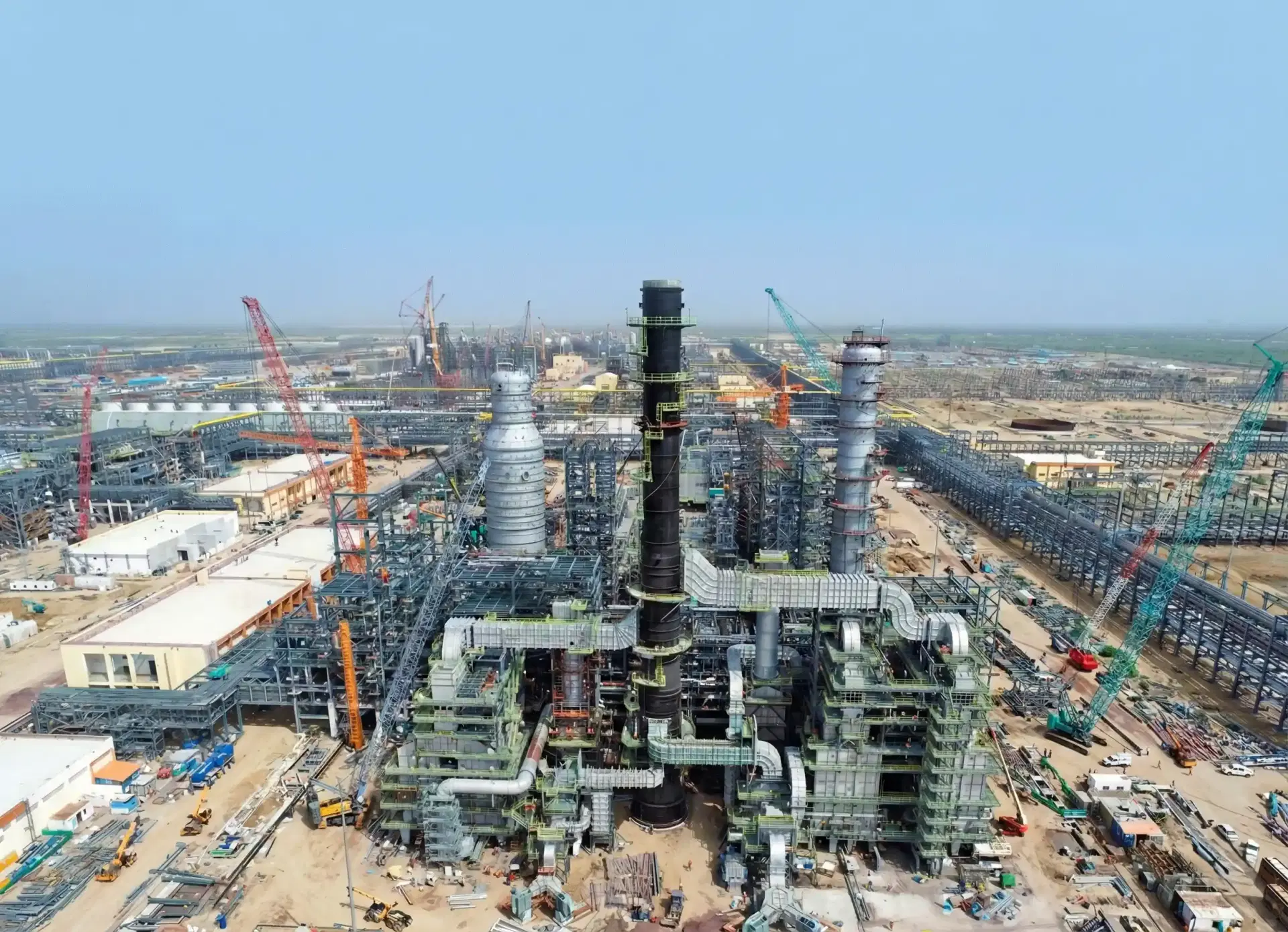
Industrial & EPC
Digital site documentation and measurable EPC execution intelligence for plant environments.
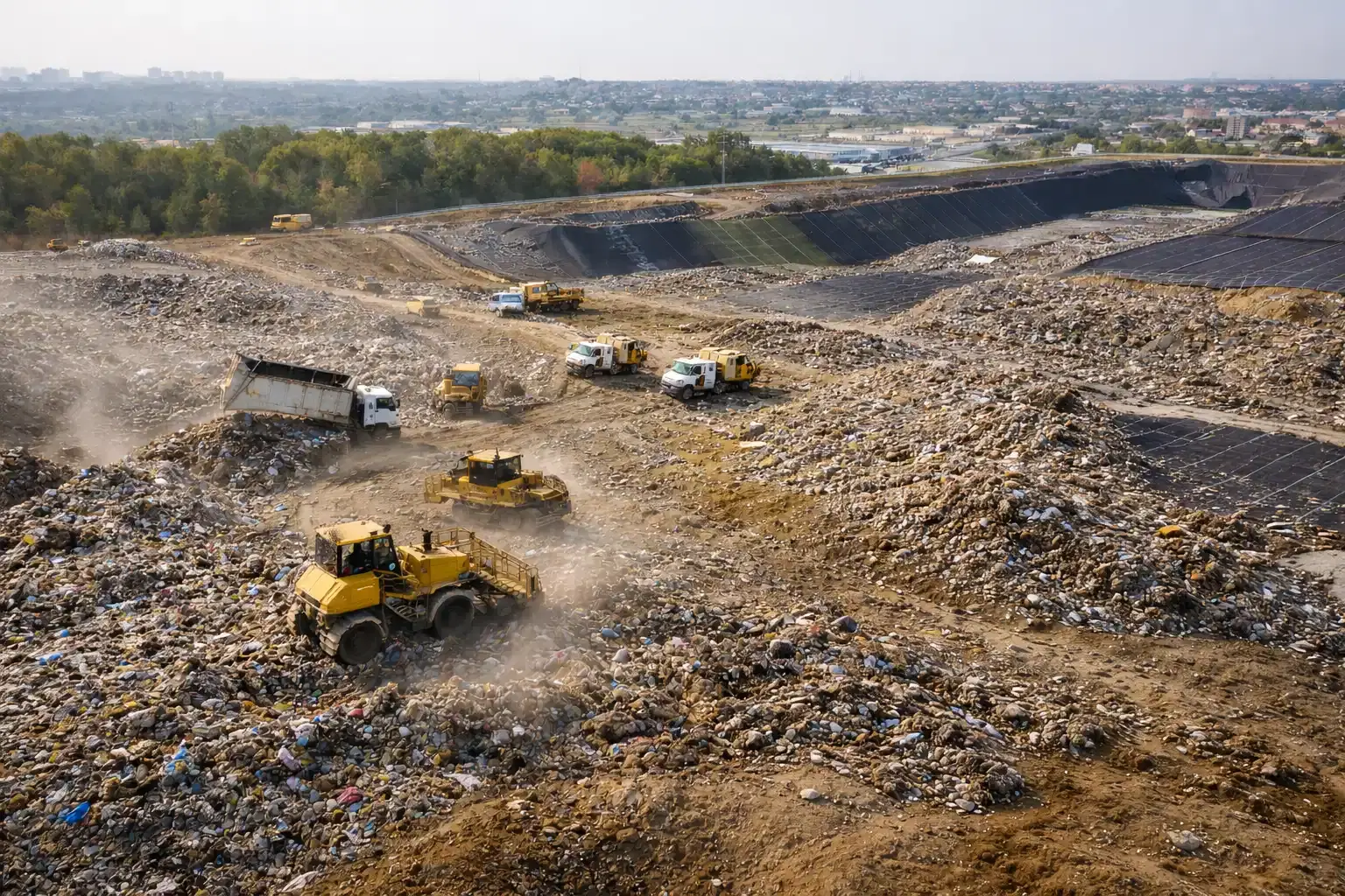
Waste Management
Periodic landfill and waste-cell mapping for accurate volumes, compliance, and planning.
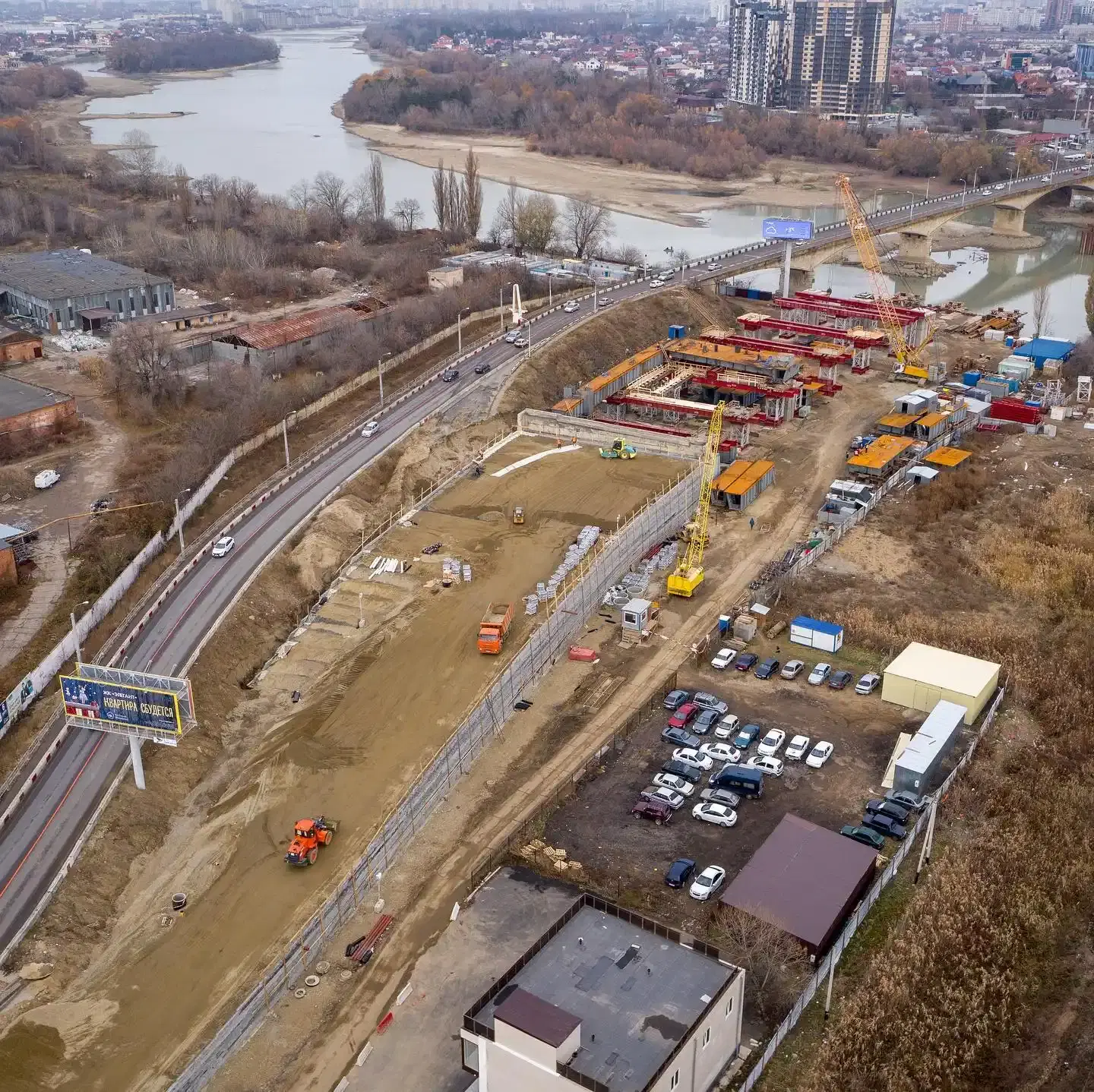
Smart City & Urban Works
City-scale mapping and monitoring for municipal programs, planning offices, and contractors.

Agriculture
Aerial intelligence for crop performance, irrigation planning, and precision-farming operations.

Oil & Gas
Integrated thermal, visual, and topographic intelligence for pipeline and facility asset programs.

Solar
Lifecycle support for solar EPC and O&M teams with alignment, QA, and thermal diagnostics.

Owners & Developers
Independent project visibility for owners, PMCs, and lenders across multi-site portfolios.
Platform Value
What You Get Across Every Industry Engagement
Capture at Scale
DGCA-compliant flight operations with consistent data capture quality across complex project terrains.
Unified Deliverables
Orthomosaics, contour-ready elevation models, point clouds, and reports in engineering-friendly formats.
Decision-Ready Insights
Volume change, progress variance, and asset-level observations organized for project and leadership teams.
Engagement Model
Built for Repeatable Enterprise Delivery
Scoping by Industry
Define site type, outputs, compliance context, and reporting cadence before execution starts.
Field Capture & QA
Deploy flight and ground-control workflows aligned to terrain, risk profile, and accuracy requirements.
Processing & Validation
Process data on our platform and validate outputs for engineering, operations, and stakeholder use.
Periodic Monitoring
Run repeat cycles for ongoing projects so teams can benchmark progress and intervene early.
Next Step
Need Industry-Specific Guidance for Your Project?
Share your site profile and required outputs. Our team will recommend the right workflow, reporting cadence, and deployment model for your industry.