
Drone Survey Case Study: Angel Wings Drone Services
How Angel Wings Drone Services left DroneDeploy and reached under 1 cm checkpoint error with GCP + PPK processing on Aeroyantra in Hood River, Oregon.
Drone Survey Case Study: Angel Wings Drone Services
How Angel Wings Drone Services left DroneDeploy and reached under 1 cm checkpoint error with GCP + PPK processing on Aeroyantra in Hood River, Oregon.
Table Of Content
- At a Glance
- Background: Never a Victim of Circumstance
- The Problem: Accuracy That Would Not Hold
- The Evaluation: WebODM, DJI Terra, DroneDeploy, Aeroyantra
- The Results
- What Changed for the Business
- What's Next: Scaling to 2,000 Acre Projects
- Why This Case Matters
- About Angel Wings Drone Services
- About Aeroyantra
At a Glance
| Company | Angel Wings Drone Services LLC |
| Owner | Angel Robinson |
| Base | Hood River, Oregon, USA |
| Founded | 2025 |
| Team | Owner-operator, FAA licensed |
| Coverage | Oregon and Washington |
| Clients | Surveying, forestry, watershed groups, fisheries |
| Previous Platform | DroneDeploy |
| Platform | Aeroyantra cloud processing |
| Uses Aeroyantra For | GCP + PPK processing, DEMs, branded client sharing |
| Key Result | Under 1 cm checkpoint error |
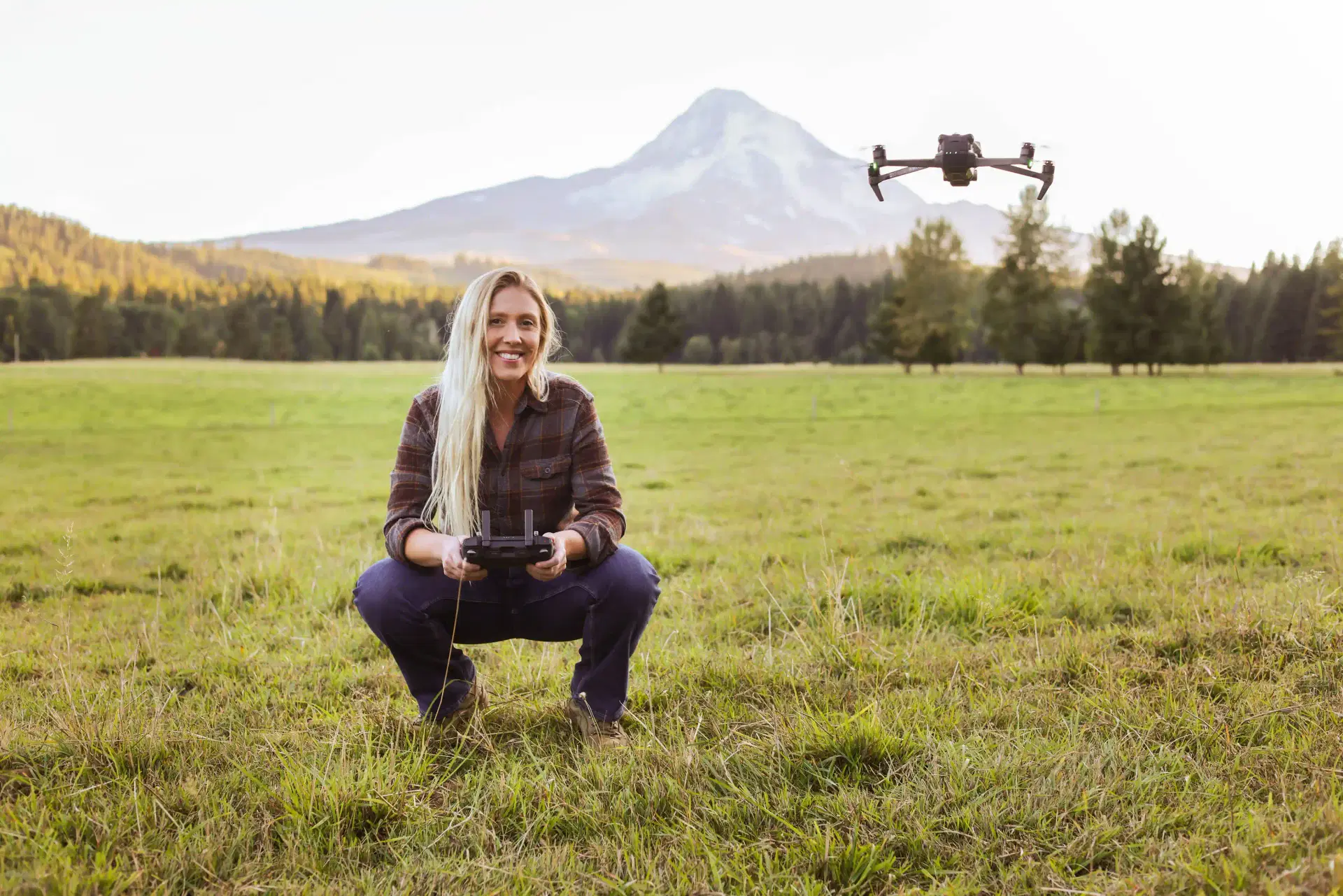
Angel Robinson operating in the Columbia River Gorge, where her family has lived for four generations.
Background: Never a Victim of Circumstance
At 25, Angel Robinson was a single mother to two young boys, earning $12 an hour.
She found her direction in Oregon's forests and went back to school for forestry. That meant homework at 4 am, school drop-offs, a one-hour commute to college, and night shifts at a hotel. She graduated.
From there she worked for the Forest Service in the Columbia River Gorge, then in natural resource conservation, and later in forestry - where she first saw what drones could actually do: 3D mapping, terrain models, and identifying tree species from the sky.
In 2025 she launched Angel Wings Drone Services LLC to bring that capability back to the Gorge, where her family has lived for four generations. The business serves surveying firms, forestry operations, watershed groups, and fisheries across Oregon and Washington.
Her rule, in her own words: welcome challenge as opportunity, and never be a victim of circumstance.
The Problem: Accuracy That Would Not Hold
Angel's surveying clients do not accept approximate data. They need survey-grade accuracy, verified against independent checkpoints, with an accuracy report they can put in a project file.
Her previous setup could not reliably deliver it. Three problems compounded:
- Processing cost. $200 to $500 per project. For a first-year business trying to reinvest in equipment and marketing, that is a heavy line item on every single job.
- RTK instability. Connections dropped during battery swaps and would not reconnect reliably. On a multi-battery mission, that means part of the dataset is captured without corrections - and you often do not find out until processing.
- Accuracy failures. Even with RTK running and ground control points laid, processed errors came back above client tolerance.
The third one was the decisive one.
"The straw that finally broke the camel's back was related to accuracy during processing."
- Angel Robinson, Owner, Angel Wings Drone Services LLC
For a solo operator, an accuracy failure is not just a technical problem. It is the part of the job the client is paying for, and the part a new business has the least margin to get wrong.
The Evaluation: WebODM, DJI Terra, DroneDeploy, Aeroyantra
Angel did not switch on a recommendation. She tested WebODM, DJI Terra, and DroneDeploy against Aeroyantra, and chose Aeroyantra for four specific reasons.
1. A GCP + PPK workflow that actually holds
Rather than depending on a live correction link surviving the whole flight, the workflow combines ground control points with post-processed kinematic (PPK) positioning. Corrections are applied after capture from logged GNSS observations, so a dropped link during a battery swap no longer costs accuracy. Angel describes the workflow as seamless and efficient.
2. Hands-on technical support
Accuracy is not only a processing problem - it starts at capture. The Aeroyantra team worked directly with her on flight planning and capture parameters: overlap, altitude, GCP placement, and checkpoint strategy for maximum accuracy on her site types.
3. White-labeled client delivery
Her logo on the dashboard and on the accuracy reports, with clients viewing projects online through a link. A one-person business presents like an established firm, and the client sees the data in a viewer instead of receiving a folder of files they have to open in software they may not own.
4. Pricing that leaves room to grow
Per-project processing cost dropped far enough to leave budget for equipment and marketing - the two things a first-year business actually needs to spend on.
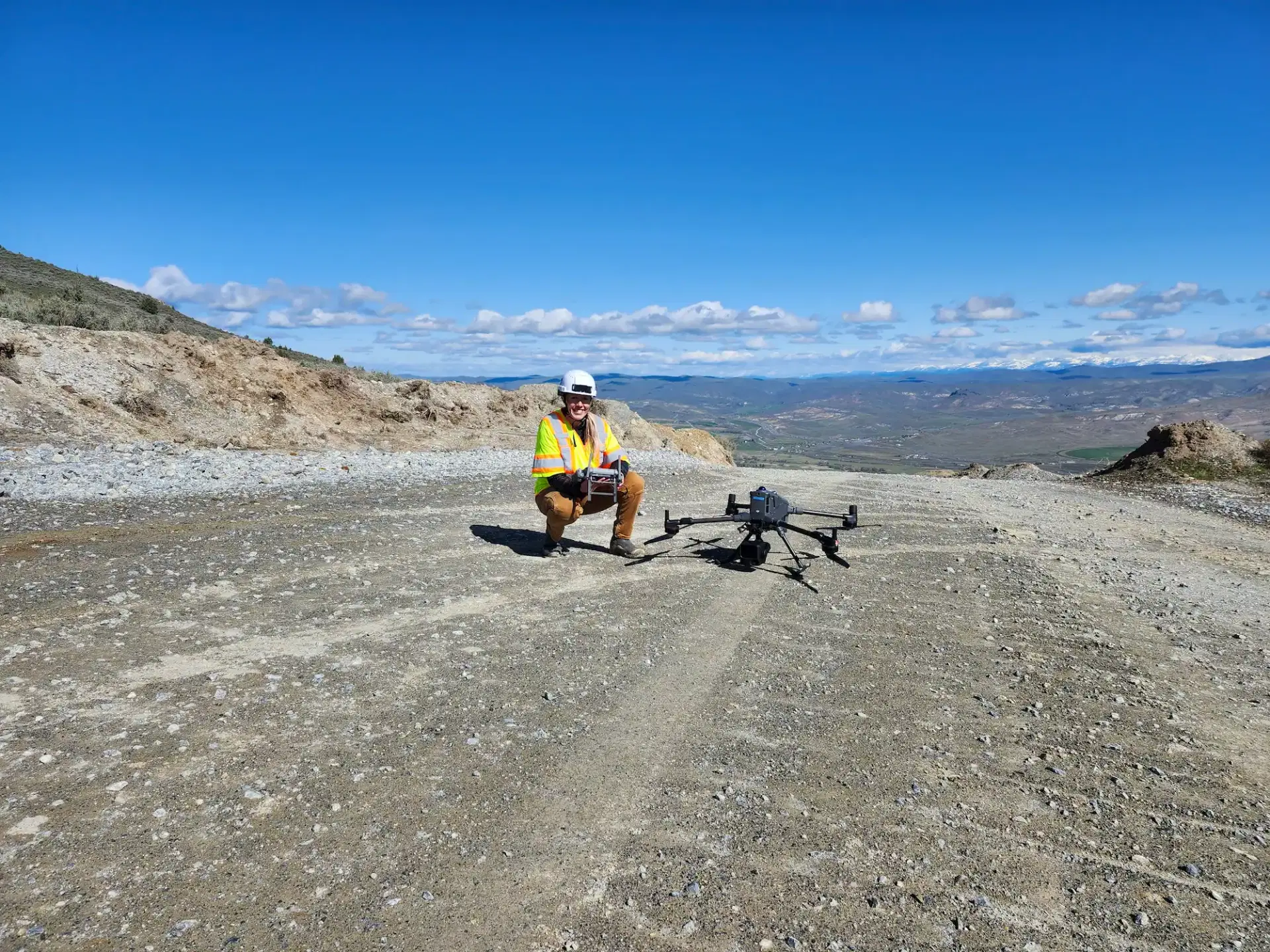
Survey work across Oregon and Washington, from quarry and aggregate sites to forestry and watershed projects.
The Results
| Before | With Aeroyantra | |
|---|---|---|
| Accuracy | Above client tolerance | Under 1 cm checkpoint error |
| Processing time | 6 to 12 hours | 6 to 8 hours |
| Client delivery | File handoff | Branded online viewer + accuracy report |
| Support | Self-serve | Direct technical guidance |
Under 1 cm checkpoint error is the number that matters here. A checkpoint is an independently surveyed point deliberately withheld from the processing solution, so the error measured against it is a genuine test of the output rather than a restatement of the inputs.
Her clients called the accuracy results amazing. What used to be her biggest risk is now her selling point.
"This is an industry where you can feel overwhelmed and alone when starting out. Having their support team behind me has improved my confidence in myself and my product."
- Angel Robinson, Owner, Angel Wings Drone Services LLC
What Changed for the Business
Accuracy moved from liability to differentiator
Before, accuracy was the thing most likely to go wrong on a job. Now it is the thing she leads with when quoting surveying clients.
Delivery looks like a firm, not a folder
Branded viewer links and accuracy reports carrying her own logo changed how the work is received. Clients review the project online instead of being handed files and left to figure out the rest.
Cost stopped limiting which jobs were worth taking
With processing cost no longer consuming a large share of each project, smaller jobs became viable and the margin from larger ones could go back into the business.
She stopped troubleshooting alone
Direct technical guidance replaced self-serve documentation. For an owner-operator with no colleague to check a flight plan against, that is a structural change in how the business runs, not just a better support ticket experience.
What's Next: Scaling to 2,000 Acre Projects
Angel is scaling from 20 to 100 acre sites to projects in the 1,000 to 2,000 acre range.
That jump changes the processing problem, not just the flying. Image counts rise by an order of magnitude, ground control has to be distributed across a much larger area, and accuracy has to hold at the far edges of the block rather than only near the control. Cloud processing removes the hardware ceiling a local workstation would impose at that scale, and the GCP plus PPK workflow is what keeps accuracy consistent across the whole site instead of only the middle of it.
"Aeroyantra has provided my company everything it needs to grow and thrive: low cost, efficiency, and high-quality outputs. Your business is only as good as your processing software, and Aeroyantra and their team is top notch!"
- Angel Robinson, Owner, Angel Wings Drone Services LLC
Why This Case Matters
Survey-grade accuracy has historically come bundled with enterprise pricing and enterprise overhead - the assumption being that a one-person business either accepts lower accuracy or accepts a cost structure built for a firm ten times its size.
This project shows the alternative:
- A resilient GCP + PPK workflow instead of dependence on a live RTK link
- Capture parameters designed with technical support rather than guessed at
- Accuracy verified against withheld checkpoints, not asserted
- Delivery and pricing that let a first-year business compete on quality
For solo operators and small survey businesses, that combination is what makes survey-grade work economically possible at all.
If you are weighing the same switch, our DroneDeploy vs Aeroyantra comparison breaks down the differences in processing, accuracy workflow, and pricing in detail.
About Angel Wings Drone Services

Angel Wings Drone Services LLC is an FAA-licensed, owner-operated drone mapping business founded in 2025 and based in Hood River, Oregon. It serves surveying firms, forestry operations, watershed groups, and fisheries across Oregon and Washington, led by founder Angel Robinson.
About Aeroyantra
Aeroyantra is a cloud-based drone data processing platform for mapping, reality capture, and engineering workflows. It processes drone imagery into georeferenced deliverables such as orthomosaics, point clouds, digital elevation models, and 3D reconstructions - with GCP and PPK support, accuracy reporting, and white-labeled client sharing.
Survey-grade accuracy without enterprise pricing.
Start processing your drone survey data
Running a small survey or mapping business and fighting the same accuracy problem? Contact Aeroyantra - we respond within one business day.
Related Articles
Explore more insights and stories from our blog
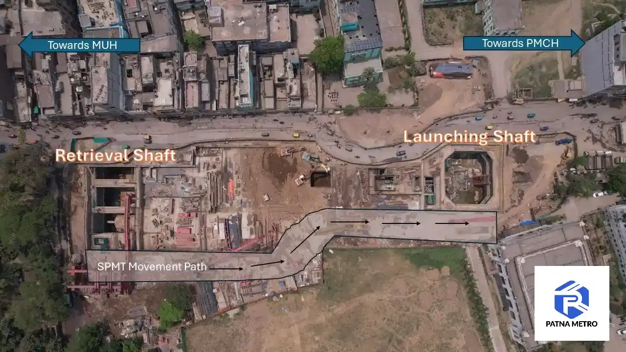
Drone Survey Case Study: Patna Metro Planning
How drone aerial survey improved construction planning on the Patna Metro project. Faster data, better site insights, and lessons from an infra pilot.
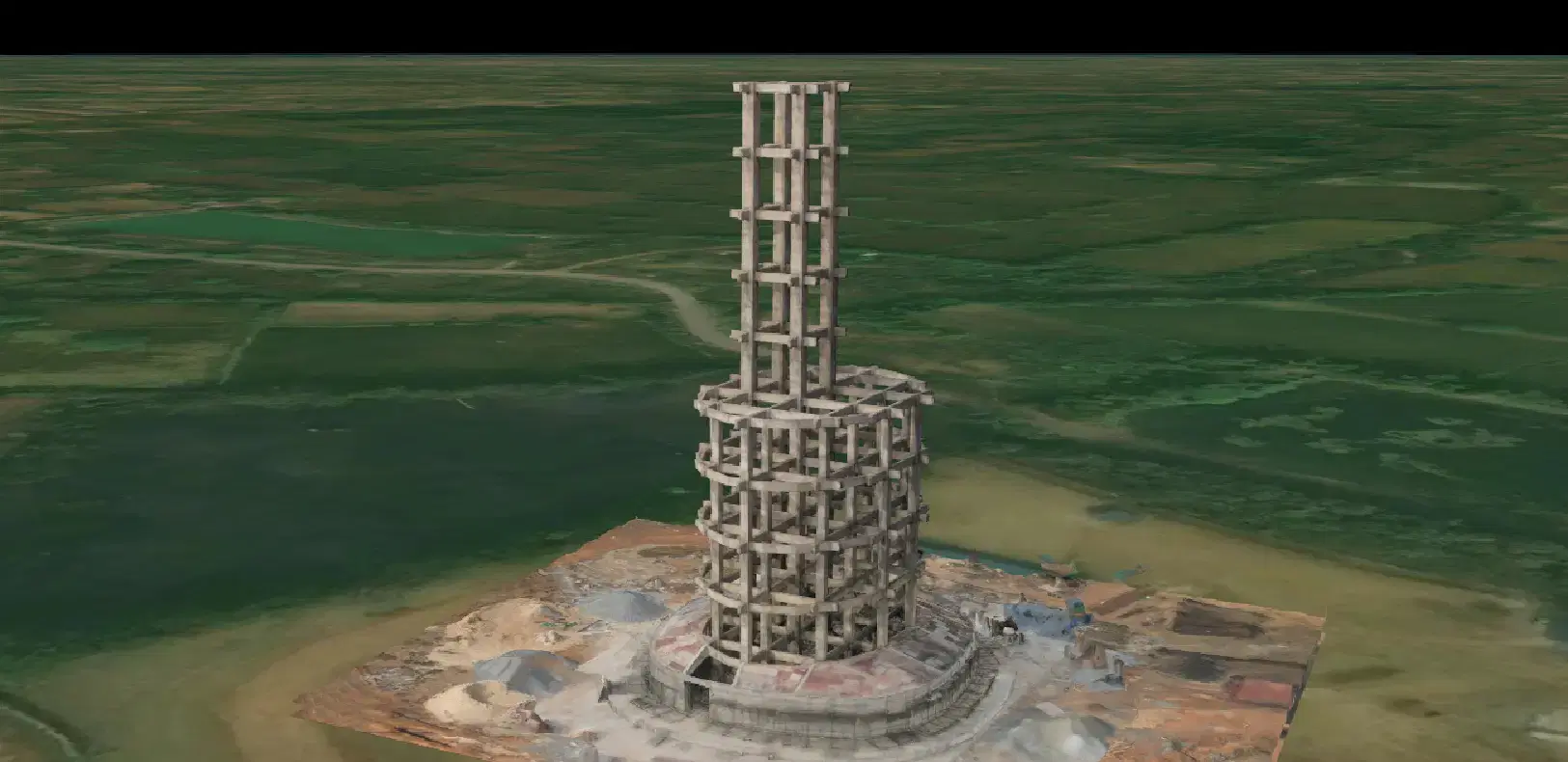
Drone 3D Mapping Case Study: Water Tank Bilaspur
How Travancore Aviations used drone photogrammetry to map an under-construction overhead water tank in Bilaspur. Accurate 3D model for construction planning.
Drone Survey Case Study: Vedant x NALCO Odisha
How Vedant Construction replaced manual surveys with drone mapping at NALCO Odisha. 80% time savings, accurate stockpile volumes, faster reporting.