
Highway Construction Monitoring Case Study: 33Visual
How 33Visual reviews a 77 km highway build in the State of Mexico in one view: weekly drone surveys, 360° panoramas by chainage and 3D models on Aeroyantra.
Highway Construction Monitoring Case Study: 33Visual
How 33Visual reviews a 77 km highway build in the State of Mexico in one view: weekly drone surveys, 360° panoramas by chainage and 3D models on Aeroyantra.
Table Of Content
- At a Glance
- Watch: 77 km in One View
- Background: Storytelling Meets Aerial Intelligence
- The Problem: A Highway Is Not a Site
- The Evaluation: DroneDeploy, Propeller and Aeroyantra
- How 33Visual Uses Aeroyantra
- The Results
- What Changed for 33Visual
- What's Next: Processing New Datasets in the Cloud
- Why This Case Matters for Highway Teams in the US and Mexico
- Resumen en español
- About 33Visual
- About Aeroyantra

By Vishal Singh Dhami, Co-Founder & Director
12 min read · Published November 4, 2026
At a Glance
| Company | 33Visual |
| Headquarters | Houston, Texas, USA |
| Operating office | Mexico City, with local teams in Madrid, Rio de Janeiro and London |
| Founded | 2001 |
| Team | 11 to 50 people |
| Focus | Corporate storytelling and aerial intelligence |
| Industries | Infrastructure and construction, mining, energy, industrial and commercial property, cultural heritage |
| Flagship project | 77 km highway construction, State of Mexico |
| Survey cadence | Three to four corridor datasets a week |
| Dataset size | About 2,900 mapping images per 2.5 to 3.4 km section |
| Platforms evaluated | DroneDeploy, Propeller, Aeroyantra |
| Uses Aeroyantra for | Project-wide viewing, panoramas located by chainage, access to every survey dataset |
| Key result | The full 77 km corridor, every survey and every panorama, in one view |
Watch: 77 km in One View
All survey data, panoramas, 3D models and field footage in this story were captured by 33Visual and are shown with their permission. Aeroyantra is the platform 33Visual uses to bring them together.
Background: Storytelling Meets Aerial Intelligence
33Visual was founded in 2001. Headquartered in Houston, Texas, with an operating office in Mexico City and local teams in Madrid, Rio de Janeiro and London, the company describes its work as sitting at the crossroads of corporate storytelling and aerial intelligence. Its clients come from infrastructure and construction, mining, energy, industrial and commercial property, and cultural heritage.
The project in this case study is a long, linear one: a 77 km highway under construction in the State of Mexico, with recurring aerial documentation of the corridor and its structures, from cuts and fills to culverts and viaducts.
The scale is set by the cadence. 33Visual runs field acquisition campaigns every week, and recent campaigns produced three to four corridor datasets a week. Each dataset covers a section roughly 2.5 to 3.4 km long. Seven recent datasets held 20,285 mapping images, between 2,044 and 3,388 each and about 2,900 on average. Panoramas and supporting field photographs come on top of that.
The Problem: A Highway Is Not a Site
A building site fits in one survey. A highway does not. A 77 km corridor is captured section by section, week after week, and every one of those surveys only makes sense in relation to the rest of the road.
33Visual's previous workflow was built around pre-processed datasets, supported by separate tools for geospatial analysis and for client reporting. Three problems followed from that:
- Surveys without the full highway around them. Recurring surveys and visual documentation had to be brought together within the context of the whole 77 km, not reviewed one section at a time.
- Panoramas without a position on the road. Panoramas are only useful if you know where they sit relative to the highway's chainage (stationing, in US practice). Locating them consistently was a recurring task.
- Reports for different readers. Each client needs different information from the same project, and preparing reports to suit each one took effort across tools.
None of this is a processing problem. The data existed. What was missing was a single place where the whole corridor, every survey date and every panorama could be seen together.
The Evaluation: DroneDeploy, Propeller and Aeroyantra
33Visual first came across Aeroyantra around May 2026, while exploring platforms for its aerial intelligence workflows. It evaluated DroneDeploy and Propeller alongside it, and chose Aeroyantra for two reasons.
1. The entire 77 km project in one view
For a linear infrastructure project, this was the deciding feature. With the full corridor visible at once, an individual survey or structure is understood in the context of the whole highway rather than as an isolated map.
2. Support that works on the client's requirements
The second reason was the people. 33Visual singled out Aeroyantra's support and its willingness to work closely with the team on their own requirements as equally important to the software itself.
If you are comparing the same platforms, our DroneDeploy vs Aeroyantra comparison covers pricing, outputs and workflow side by side.
How 33Visual Uses Aeroyantra
33Visual uploaded all of its pre-processed highway datasets and all of its panoramas to Aeroyantra, and adds to the project after each weekly field campaign. The features it relies on are project-wide visualization, geographically located panoramas and access to every survey dataset. The six short clips below show each one on the live project.
1. The whole corridor on one map
Every survey of the highway sits on one map. Surveys are named by chainage range, such as KM 64+000 to KM 67+000, and a timeline along the bottom steps through the campaign datasets. Coordinates are read out in Mexico ITRF2008 / UTM zone 14N (EPSG:6369), and the viewer can switch to US survey feet for readers who work in them.
2. Panoramas located by chainage
The project's media library holds 115 panoramas and photos, each pinned where it was taken and named by chainage: KM 20+890, KM 46+806, KM 65+531. Opening one shows it in 360°, either at ground level or from the air, and a split view puts the panorama beside the orthomosaic with a pin marking the capture point. Anything worth following up is logged on the spot as a finding, with a type, a status, a criticality from 1 to 5 and a deadline.
"The panoramas are indispensable. Their geographic placement allows us to locate them relative to highway chainage and connect detailed views of site conditions with the wider project."
- 33Visual
3. A 360° drive-through, synced to the map
Some sections are documented with 360° video recorded from a vehicle moving along the alignment. In Aeroyantra the video plays above the satellite map with its track drawn in orange, so every frame is tied to its place on the corridor, and a finding can be added from any frame.
4. Structures in 3D: viaducts and cut slopes
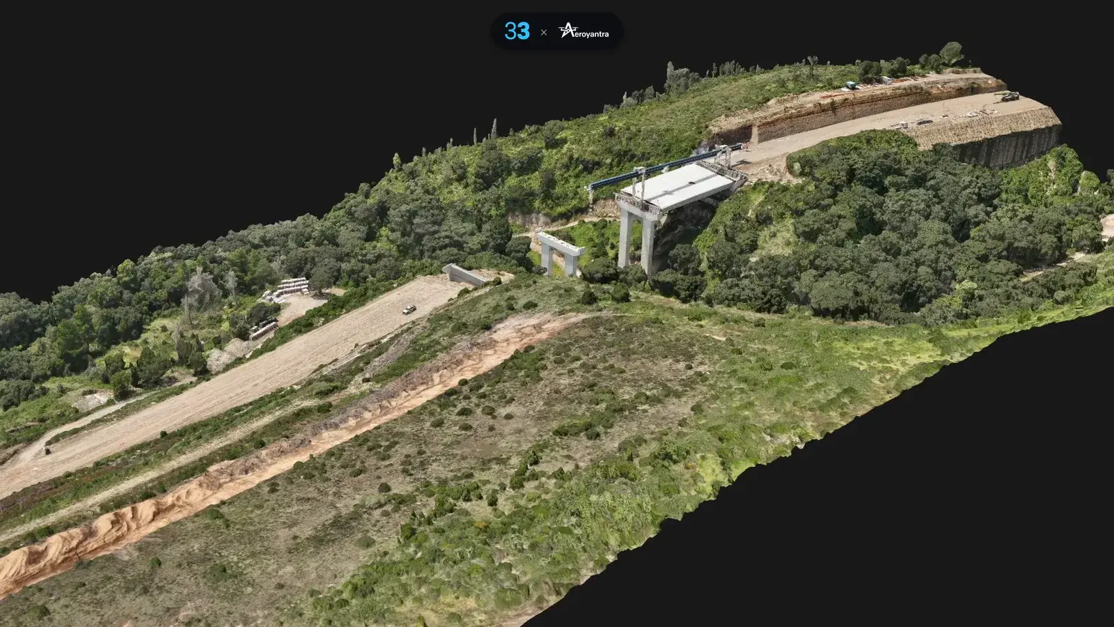
Structures are where a flat map runs out. This textured 3D model of a viaduct section, from the survey of September 6, 2026, was built from 1,079 images. Piers, deck and the surrounding cut slopes can be orbited in the browser, and the same viewer switches between the orthomosaic, DSM, DTM, 3D model and point cloud. Our 3D mapping and point cloud software page covers these outputs in more detail.
5. Point clouds by colour, elevation and class
The same section as a dense point cloud can be coloured three ways: true colour, elevation, and classification into ground, unclassified and low-noise points. Elevation colouring makes cut slopes and the valley floor readable at a glance, and classes can be switched on and off one at a time.
6. Field acquisition that feeds the platform
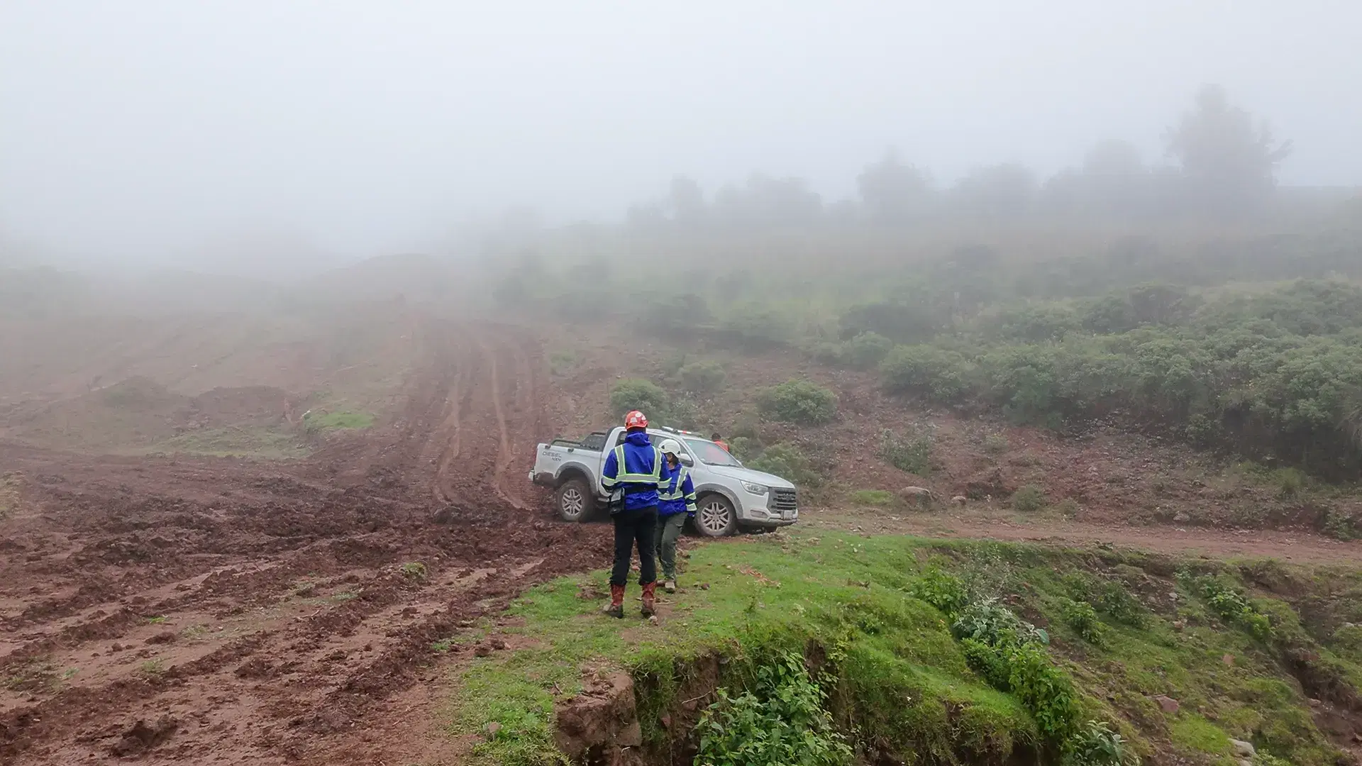
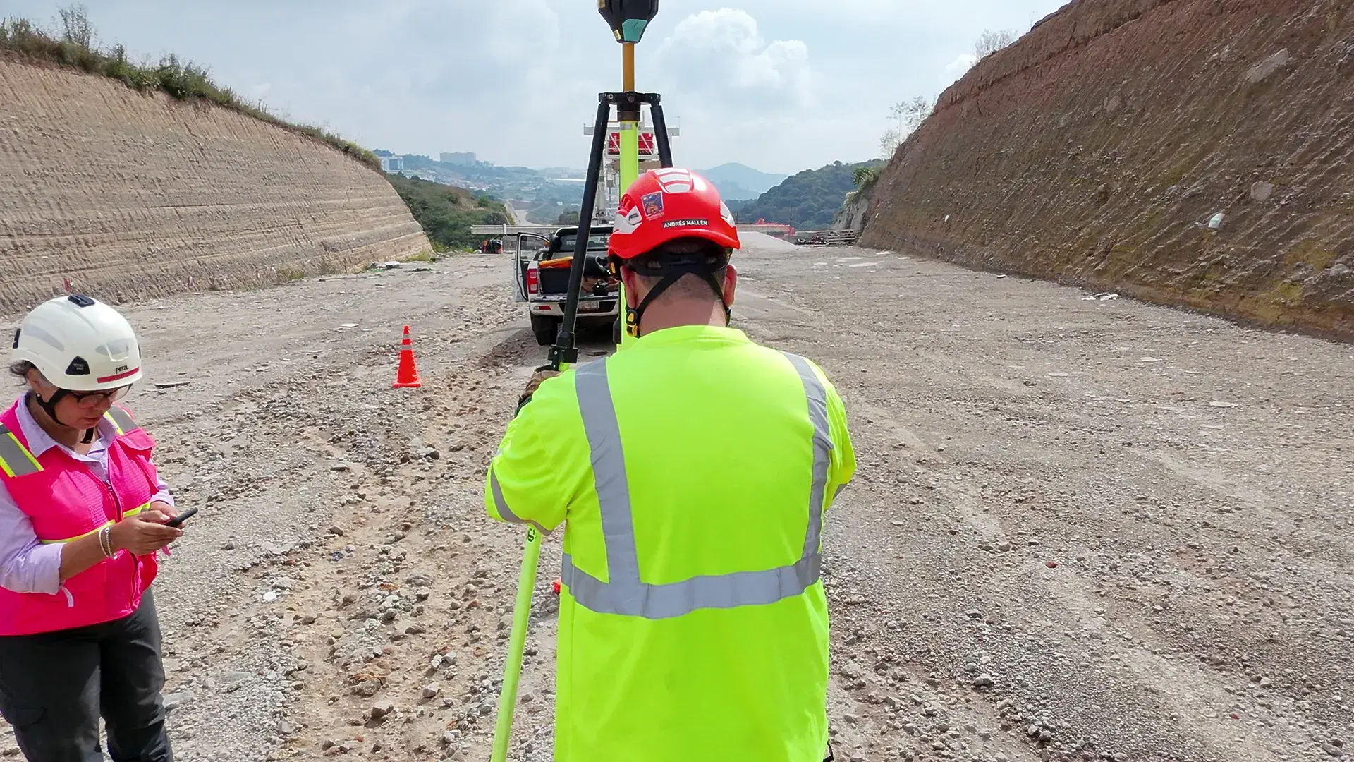
Everything above starts in the field. 33Visual's crews place ground control targets and measure them with GNSS, section by section along the corridor. For the method behind that, see our guide to GCP placement for survey-grade accuracy.
The Results
The clearest result is the one 33Visual set out to get: the full 77 km highway project reviewed in one environment, with all of its pre-processed datasets and panoramas together.
| Before | With Aeroyantra | |
|---|---|---|
| Where the data lives | Pre-processed datasets, with separate tools for geospatial analysis and client reporting | All pre-processed datasets and panoramas in one viewing environment |
| Corridor context | Hard to read each survey within the full highway | The whole 77 km in one view, then down to any location |
| Panoramas | Hard to locate relative to highway chainage | Placed geographically and located along the chainage |
| Processing | Done before upload | New datasets to be processed in the cloud on Aeroyantra |
For scale: seven recent corridor datasets contained 20,285 mapping images, about 2,900 each, and the media library holds 115 panoramas and photos.
"Seeing the entire 77 km highway project in one view, with our survey datasets and panoramas located along the highway, has been a key differentiator for us. Aeroyantra's outstanding support has been equally important."
- 33Visual
What Changed for 33Visual
Moving between the whole road and a single spot
The main benefit is the ability to move from an overview of the entire highway to detailed documentation of one location, and back again. A viaduct, a culvert or a cut slope is always seen in its place on the corridor.
Surveys and panoramas became more useful together
Survey datasets and panoramas tell more when they are read together and located along the chainage. A panorama explains what the orthomosaic shows; the orthomosaic shows where the panorama sits.
A coherent record across campaigns
With weekly campaigns adding three to four datasets at a time, the project now builds a coherent visual record of the highway across every acquisition campaign.
Support as part of the workflow
33Visual credits Aeroyantra's responsive support as a key part of making the platform fit its workflow, rather than an add-on.
What's Next: Processing New Datasets in the Cloud
So far, 33Visual has brought its pre-processed datasets into Aeroyantra. The next step is to process new datasets directly in the cloud with Aeroyantra, turning raw drone images into orthomosaics, elevation models, point clouds and 3D models in the same place they are reviewed.
Cloud processing on Aeroyantra is priced per dataset, not per seat: $0 to start and $2.50 per credit, where one credit covers one gigapixel of photos, or $69 a month on the Professional plan with 40 credits included. As an illustration, a 2,900-image corridor section shot on a 20 MP camera is 58 gigapixels, or 58 credits. View-only links for clients and contractors are unlimited on every plan. Full details are on the pricing page.
At highway scale, the large-scale drone mapping guide covers how to plan capture and processing across long corridors.
Why This Case Matters for Highway Teams in the US and Mexico
Highway programs on both sides of the border have the same documentation problem: long corridors, many contractors, weekly change, and owners who want to see progress without opening a GIS package. That applies to state DOT projects, design-build contractors and construction engineering and inspection (CEI) consultants in the US, and to owners, concessionaires, contractors and supervision firms in Mexico.
This project shows what works for a linear job:
- Organise by chainage, not by date alone. Name surveys and panoramas by where they are on the road, so every capture can be found in its place.
- Keep the whole corridor in view. Review each new section against the full project, not as a standalone map.
- Put imagery and survey data side by side. Panoramas, 3D models and orthomosaics answer different questions about the same spot.
- Log findings where you see them. An issue recorded on the panorama keeps its location, status and deadline attached.
Aeroyantra is the software. The flying and field work on this project is done by 33Visual, and teams in the US and Mexico use the platform the same way with their own drone data.
Resumen en español
33Visual, con sede en Houston, Texas y oficina operativa en la Ciudad de México, documenta desde el aire la construcción de una autopista de 77 km en el Estado de México. Cada semana sus brigadas de campo colocan puntos de control terrestre, miden con GNSS y vuelan el corredor, generando de tres a cuatro levantamientos por semana, con unas 2,900 imágenes por tramo de 2.5 a 3.4 km.
Antes, los datos procesados, el análisis geoespacial y los reportes vivían en herramientas separadas, y ubicar las panorámicas respecto al cadenamiento de la carretera era un trabajo constante. Tras evaluar DroneDeploy y Propeller, 33Visual eligió Aeroyantra para ver los 77 km del proyecto en una sola vista: todos los levantamientos, 115 panorámicas 360° georreferenciadas y nombradas por cadenamiento (por ejemplo, KM 65+531), modelos 3D de viaductos, nubes de puntos y hallazgos registrados directamente sobre la panorámica, con coordenadas en Mexico ITRF2008 / UTM zona 14N (EPSG:6369).
Para equipos de supervisión de obra y monitoreo de obra carretera con drones en México, Aeroyantra es el software en la nube; el vuelo lo realizan operadores como 33Visual.
About 33Visual
33Visual is an aerial intelligence and corporate storytelling company founded in 2001, headquartered in Houston, Texas, with an operating office in Mexico City and local teams in Madrid, Rio de Janeiro and London. It documents infrastructure and construction, mining, energy, industrial and commercial property and cultural heritage projects. Find the team at 33visual.com and data.33visual.com.
Our thanks to Gladys Campero, Martin Vargas and the whole 33Visual team for sharing their highway work, their footage and their time. Watching a 77 km corridor come together week by week through their campaigns has been a privilege, and their feedback keeps shaping the platform.
About Aeroyantra
Aeroyantra is a cloud-based drone data platform for mapping, reality capture and engineering workflows. It processes drone imagery into georeferenced orthomosaics, point clouds, elevation models and 3D models, and brings surveys, panoramas, 360° video and findings together on one map, so a corridor project can be reviewed end to end, with unlimited view-only links for clients.
Every survey and every panorama of your corridor, in one view.
Start your highway project on Aeroyantra
Documenting a highway, rail line or pipeline and fighting the same scattered-data problem? Contact Aeroyantra - we respond within one business day.
Keep exploring
Related services, platform features and guides
- Platform featureDrone 3D Mapping Software | Point Clouds and 3D ModelsDrone 3D mapping software that turns photos into point clouds and textured 3D models in your browser. From $2.50 per credit; measurement tools on Professional.Read more
- ArticleLarge-Scale Drone Mapping: 100 to 20,000 HectaresField guide to large-scale aerial mapping from 100 to 20,000 hectares. Planning, execution, and processing for infrastructure, mining, and land survey.Read more
- ArticleDroneDeploy Pricing 2026: $329/Seat Real Cost & AlternativesDroneDeploy costs $329-$499/seat/month. Aeroyantra is pay-per-use at $2.50/credit with no seat fees. Side-by-side comparison of pricing, features, and accuracy for 2026.Read more
- Technical guideGCP Placement Guide for Survey-Grade AccuracyUse 5-10 ground control points: one near each corner, one central, spread in elevation. Keep a third as check points for 2-3 cm horizontal accuracy.Read more
- ArticleDrone Survey Case Study: Angel Wings Drone ServicesHow Angel Wings Drone Services left DroneDeploy and reached under 1 cm checkpoint error with GCP + PPK processing on Aeroyantra in Hood River, Oregon.Read more
Related Articles
Explore more insights and stories from our blog
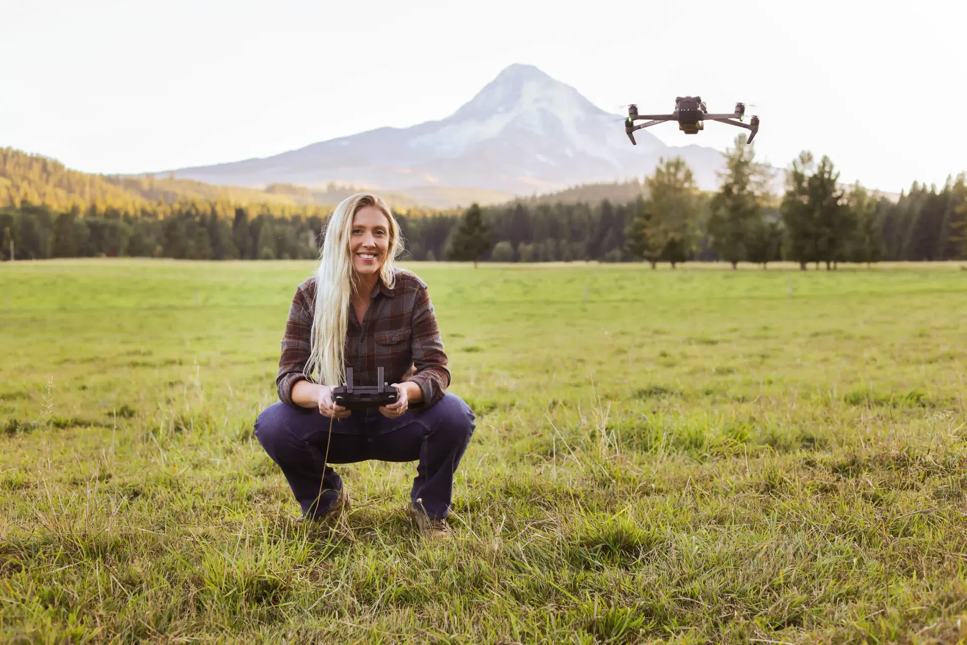
Drone Survey Case Study: Angel Wings Drone Services
How Angel Wings Drone Services left DroneDeploy and reached under 1 cm checkpoint error with GCP + PPK processing on Aeroyantra in Hood River, Oregon.
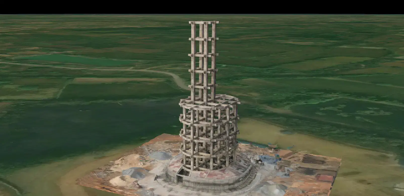
Drone 3D Mapping Case Study: Water Tank Bilaspur
How Travancore Aviations used drone photogrammetry to map an under-construction overhead water tank in Bilaspur. Accurate 3D model for construction planning.
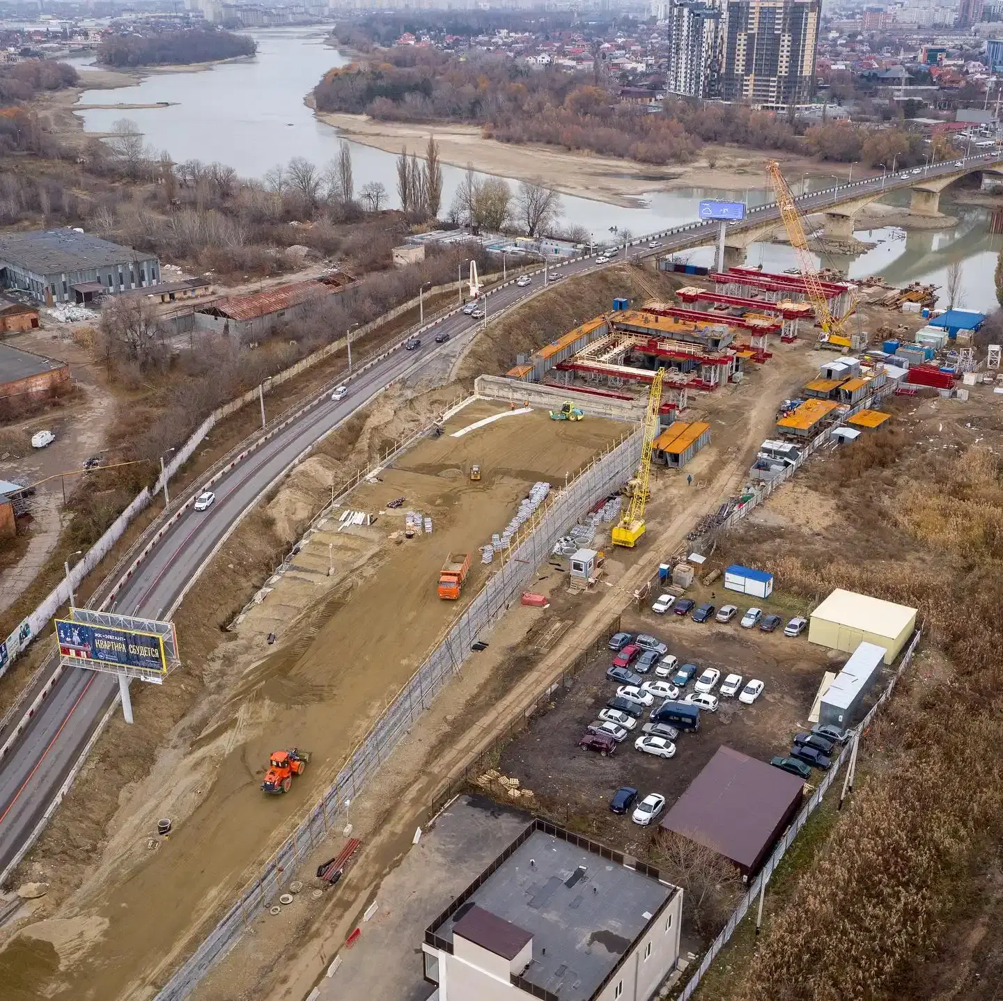
Drone Roof & Facade Inspection: Software, Costs & Workflow 2026
Drone roof inspection software costs $0-$499/seat/month. Aeroyantra is pay-per-use at $2.50/credit. Full workflow, from flight plan to the client report.