
Drone Roof & Facade Inspection: Software, Costs & Workflow 2026
Drone roof inspection software costs $0 to $499/seat/month. Aeroyantra processes roof and facade surveys pay-per-use at $2.50 per credit. Full workflow: flight planning, thermal, orthomosaic, measurement, and the report clients accept.
Drone Roof & Facade Inspection: Software, Costs & Workflow 2026
Drone roof inspection software costs $0 to $499/seat/month. Aeroyantra processes roof and facade surveys pay-per-use at $2.50 per credit. Full workflow: flight planning, thermal, orthomosaic, measurement, and the report clients accept.
Table Of Content
The short answer
Drone roof inspection software costs $0 to $499 per seat per month. Aeroyantra starts at $0, charges $2.50 per credit as you process, and offers a $69/month Professional plan. DroneDeploy charges $329 to $499 per seat per month, billed annually.
For roof and facade work the pricing model matters more than the price. Inspection work is episodic — a storm event, a condition survey, a pre-purchase check — and per-seat subscriptions charge you the same in a quiet month as a busy one.
| Aeroyantra | DroneDeploy | |
|---|---|---|
| Entry price | $0 pay-per-use | $329/seat/month (annual) |
| Per-job cost | $2.50/credit, $1.67 at volume | included in seat |
| Monthly plan | $69/month Professional | up to $499/seat/month |
| Cost of a quiet month | near zero | full seat price |
| Sharing a report | included | typically needs a seat |
Competitor pricing reflects publicly listed figures at the time of writing. Confirm with the vendor before purchase.
Roof and facade are two different jobs
This is the most common and most expensive misunderstanding in building envelope work, and it usually surfaces after the flight.
A roof inspection is nadir. Camera straight down, a standard grid, high overlap. The output is one orthomosaic of the roof plane plus a surface model that shows ponding and slope.
A facade inspection is oblique or perpendicular. The camera looks sideways at each elevation, flown as vertical passes along each face. The output is a set of rectified images, one per elevation, not a single top-down map.
A nadir flight cannot see a vertical wall. If a client asks for "a drone inspection of the building" and you fly a standard mapping grid, you will deliver a good roof survey and nothing at all about the facade. Scope it explicitly, and price it as two flight plans, because that is what it is.
Aeroyantra processes both, but they arrive as different datasets and produce different deliverables.
Flight parameters that actually work
Roof, condition survey
| Parameter | Value | Why |
|---|---|---|
| Height above roof | 20-40 m | 0.5-1.1 cm/px on a 1-inch sensor |
| Camera | Nadir, 90° | Single orthomosaic of the roof plane |
| Overlap | 80% forward, 70% side | Uniform low-texture membrane needs high overlap |
| Pattern | Double grid | Single-direction grids dome on flat, featureless roofs |
Height is above the roof, not above take-off. On a 12-storey building that difference is 35 m or more, and a flight planned from ground level will fly far too close.
Roof, defect documentation
Drop to 10–15 m for individual defects. At that height a 1-inch sensor gives roughly 0.3–0.4 cm per pixel, enough to see fastener condition, membrane cracking and seam separation. Fly these as targeted passes over areas the condition survey flagged, not across the whole roof.
Facade
- Fly parallel to each elevation at 8–15 m standoff, camera perpendicular to the wall
- Vertical or horizontal serpentine passes with 70–80% overlap
- One dataset per elevation keeps the rectification clean
- Watch for GNSS multipath close to large structures — the position solution degrades right where you need it most, which is an argument for slower flight and more overlap rather than relying on the log
Thermal
Thermal answers one question: is there trapped moisture or missing insulation? It is not a better version of RGB.
Wet insulation has higher thermal mass, so it releases heat more slowly than dry material. That differential is visible during evening cooldown, roughly one to three hours after sunset on a day with decent solar gain. A thermal scan at midday shows you the sun, not the moisture.
For visible damage — lifted shingles, cracked membrane, blocked drains, displaced flashing — high-resolution RGB at 1–2 cm is sufficient and considerably cheaper.
The deliverable clients actually accept
A folder of 300 JPEGs is not an inspection report. It is raw material, and handing it over moves the interpretation work onto the client.
What holds up:
- A geo-referenced orthomosaic of the roof plane. One image, measurable, with a date.
- A surface model. Ponding shows as a depression. Slope-to-drain is measurable rather than asserted.
- Numbered findings with locations. Each defect annotated on the orthomosaic with a location, a severity, and a close-up frame. "Lifted flashing, north-east parapet, 3.2 m from corner" is actionable; "see photo 214" is not.
- Area measurements. Total roof area, and area by material or by condition band, for material take-off and costing.
- A date stamp on everything. For insurance and warranty work, proving when a condition existed is often the entire value of the survey.
Aeroyantra produces the orthomosaic, surface model and measurements, with per-finding annotation and CSV export of the findings list. Accuracy on typical inspection datasets is 2–3 cm horizontal, which is well inside what area measurement and defect location require.
Why date-stamped comparison is the commercial hook
The single highest-value deliverable in envelope work is not the first survey. It is the second.
Two surveys of the same roof, six months apart, same flight plan, both geo-referenced — now deterioration is measurable rather than remembered. That is what converts a one-off inspection into a recurring monitoring contract, and it is why consistency of flight plan matters more than squeezing the last millimetre of resolution out of any single pass.
When a drone is the wrong tool
Small, single-storey, safely walkable roofs. A person with a ladder and a phone is faster and cheaper. The economics of drone inspection come from replacing access — scaffolding, rope, boom lift — and a bungalow has no access cost to replace.
Anything requiring physical testing. A drone cannot do a core sample, a moisture meter reading, an adhesion test, or lift a shingle to look underneath. Thermal indicates where moisture probably is; confirming it needs someone on the roof. Sell the drone survey as the thing that tells you where to send the person.
Under-eave, soffit and deep-recess detail. Geometry beats resolution. Some faces simply cannot be seen from any legal flight position.
Dense airspace restriction. Urban cores near airports or sensitive installations may not permit the flight at all, and that has to be checked before quoting.
Cost comparison, one commercial roof
A 4,000 m² flat commercial roof, five-storey building, condition survey with thermal.
| Manual with boom lift | Drone survey | |
|---|---|---|
| Access equipment | boom lift hire + operator | none |
| Time on site | most of a day | 20-30 min flying |
| Coverage | sampled areas | 100% of the surface |
| Record produced | notes and loose photos | measured orthomosaic + thermal + findings |
| Repeatable for comparison | not reliably | yes, same flight plan |
| Processing cost | none | a few credits at $2.50 |
The drone survey wins on coverage and on the record, not just on price. Sampling a roof means the defect you did not sample is the one that leaks.
Getting started with your existing hardware
You do not need new equipment for most of this. A Mavic 3 Enterprise or Phantom 4 RTK covers roof and facade work comfortably; thermal needs a radiometric payload such as the Mavic 3 Thermal.
Upload the imagery to Aeroyantra and the orthomosaic, surface model and measurements come back without a workstation. Basic is free and pay-per-use at $2.50 per credit, so you can process one real roof before committing to anything.
Frequently Asked Questions
How much does drone roof inspection software cost?
Drone roof inspection software ranges from $0 to $499 per seat per month. Aeroyantra starts at $0 with pay-per-use pricing at $2.50 per credit and a $69 per month Professional plan, so a single roof typically costs a few credits rather than a monthly seat. DroneDeploy charges $329 to $499 per seat per month billed annually, which suits teams inspecting continuously but is poor value for intermittent claim or condition work.
Can a drone inspect a roof accurately enough for an insurance claim?
Yes, provided the deliverable is a measured orthomosaic rather than loose photographs. A nadir flight at 2 cm ground sample distance resolves individual shingles, lifted flashing and ponding areas, and the orthomosaic supports area measurement for material take-off. Aeroyantra produces geo-referenced orthomosaics with 2-3 cm accuracy plus per-finding annotation, which is the form adjusters and building owners accept because every observation has a location and a date attached.
What is the difference between roof inspection and facade inspection by drone?
A roof inspection is flown nadir, camera pointing straight down, which produces a single orthomosaic and a surface model. A facade inspection is flown with an oblique or perpendicular camera along each elevation, producing separate rectified images per face because a top-down pass cannot see a vertical wall at all. Aeroyantra handles both, but they are different flight plans and different deliverables, and a job quoted as one will not produce the other.
Do you need thermal for a roof inspection?
Thermal is needed when you are looking for trapped moisture or missing insulation, not for visible damage. Wet insulation retains heat and shows as a warm anomaly during evening cooldown, which is why thermal roof scans are flown shortly after sunset rather than at midday. For visible defects such as cracked membrane, lifted shingles or blocked drains, high-resolution RGB at 1-2 cm ground sample distance is sufficient and cheaper.
What altitude should you fly a roof inspection?
Fly 20 to 40 metres above the roof surface for a general condition survey, which gives roughly 0.5 to 1.1 cm per pixel on a 1-inch sensor and resolves individual shingles and seams. Drop to 10 to 15 metres for detailed defect documentation where you need to see cracking or fastener condition. Always measure height above the roof, not above your take-off point, because a 12-storey building makes that difference 35 metres or more.
Is drone roof inspection cheaper than manual inspection?
For anything above two storeys, usually yes, because the cost being replaced is access rather than labour. A drone roof survey removes scaffolding, rope access or a boom lift, and those are the dominant line items on a tall or steep building. A 4,000 square metre commercial roof is a single 20-minute flight. The economics are weakest on small, single-storey, safely walkable roofs where a person with a ladder is genuinely faster.
Related
- GSD calculator and accuracy guide — work out the altitude a tolerance needs
- GCP placement for survey-grade accuracy
- DroneDeploy alternative: real costs compared
- Aeroyantra pricing — $0 to start, $2.50 per credit
Related Articles
Explore more insights and stories from our blog
Drone Mapping Software Cost 2026 | Pricing Compared
Real cost of Pix4D, DroneDeploy, and Aeroyantra in 2026. Subscription fees, hidden charges, and per-project pricing compared for survey professionals.
Drone Survey Case Study: Angel Wings Drone Services
How Angel Wings Drone Services left DroneDeploy and reached under 1 cm checkpoint error with GCP + PPK processing on Aeroyantra in Hood River, Oregon.
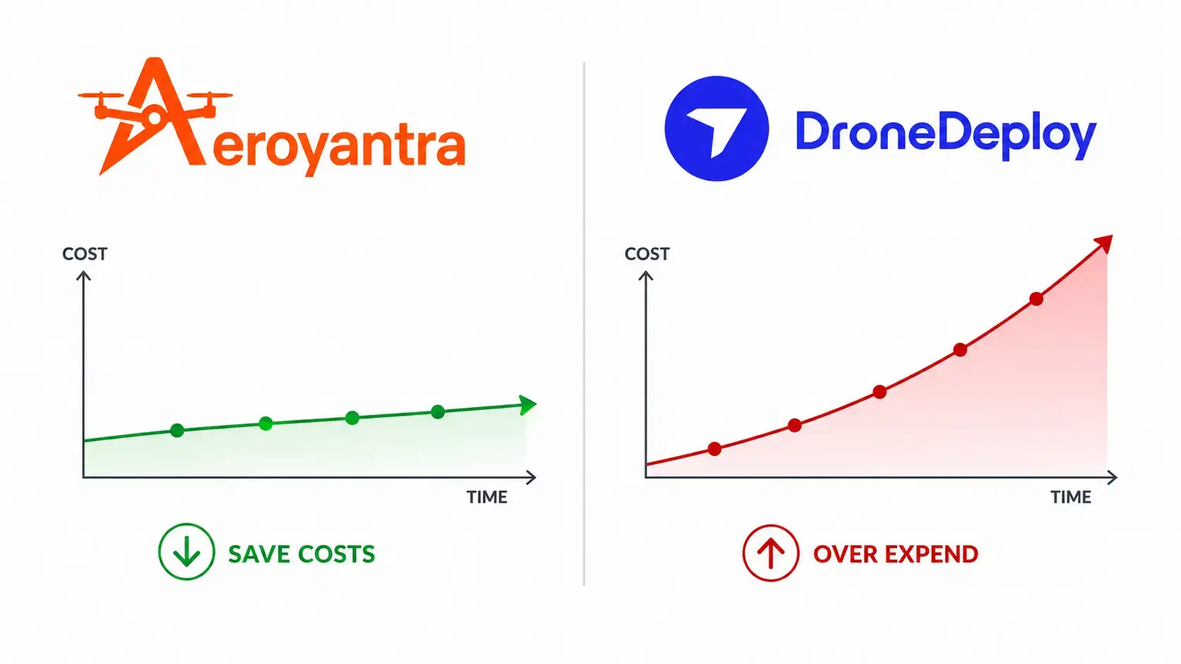
DroneDeploy Pricing 2026: $329/Seat Real Cost & Alternatives
DroneDeploy costs $329-$499/seat/month. Aeroyantra is pay-per-use at $2.50/credit with no seat fees. Side-by-side comparison of pricing, features, and accuracy for 2026.