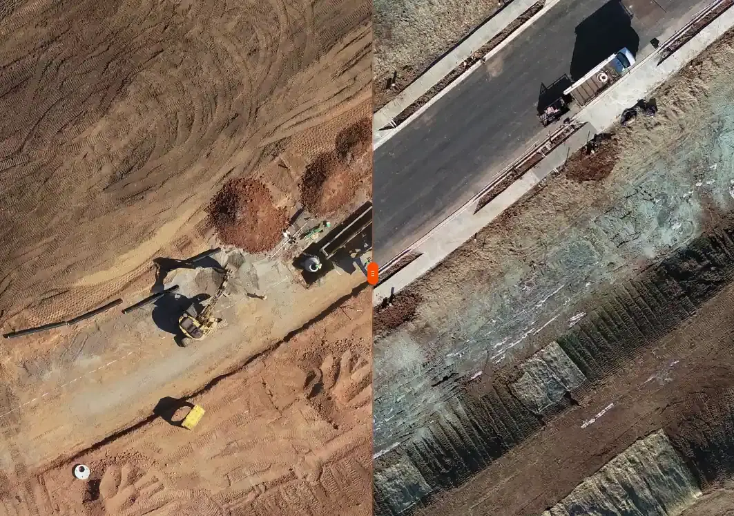
RTK and PPK terrain capture | contours, DSM, DTM, and sections
Topographic
Topographic Survey
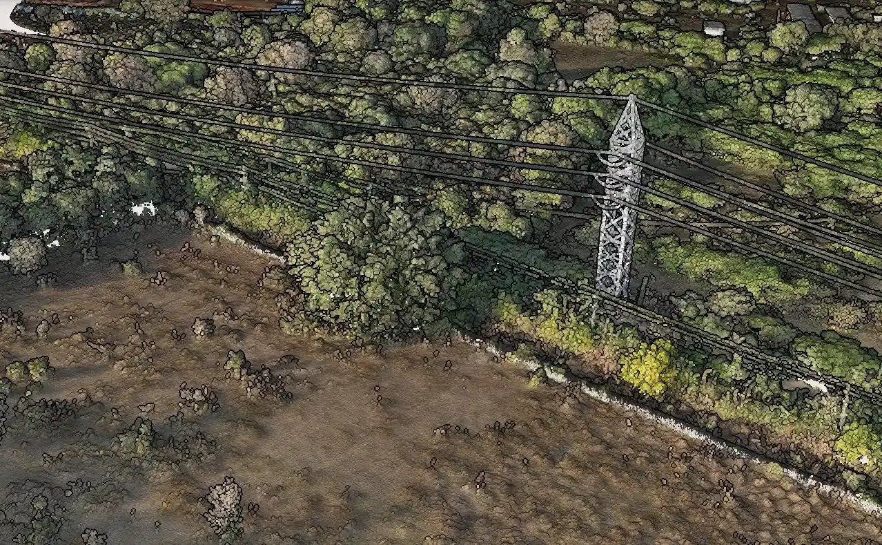
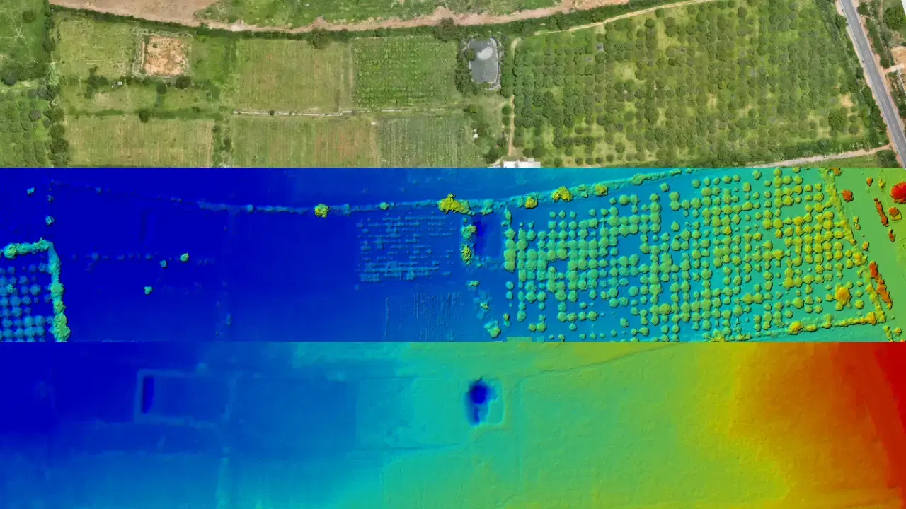
Terrain capture with RTK and PPK workflows for contours, DSM, DTM, and grading decisions on civil and land development projects.

Aeroyantra provides lidar survey and drone mapping services in Sikar, Rajasthan with DGCA-certified pilots, survey-grade aerial survey processing, and fast delivery for engineering, infrastructure, and industrial teams.
A Shekhawati region town with painted havelis heritage, copper mining activity, and agricultural land. The area is becoming a solar energy hub due to flat, open land.
Mining site surveys, solar park documentation, and heritage haveli conservation mapping.
LiDAR survey in Sikar's semi-arid shekhawati plain landscape captures the subtle terrain variations — dune patterns, rocky outcrops, and gradient changes — that photogrammetry can miss in low-contrast desert environments. This is particularly relevant for solar park site assessment, corridor routing, and mineral exploration across the open terrain of Rajasthan, where bare-earth DTMs are essential for engineering design.
Sikar has active demand from copper mining and solar energy projects — sectors where lidar survey outputs directly support planning, execution, and reporting workflows.
The arid, open landscape around Sikar allows efficient wide-area coverage while drone workflows avoid the extreme ground-level heat that limits field crew productivity.
Local conditions include semi-arid dust and heat. Our team plans for these factors in advance, adjusting flight parameters, timing, and control workflows to ensure consistent output quality.
Airspace and Compliance
Standard DGCA compliance; military base clearances needed near Jodhpur, Jaisalmer, and Bikaner air force stations.
Delivery Timeline
Standard turnaround after field capture is 48-72 hours. Mobilization and clearance timelines depend on site access and area-specific approval requirements.
Bare-earth terrain capture and classified point clouds for vegetated, difficult, or corridor-heavy sites that need higher-confidence elevation data. This page provides detailed information about lidar survey drone surveying and mapping services available in Sikar, Rajasthan.
High-density point cloud capture for terrain, corridor, and difficult ground conditions.
DTM, DSM, contours, and section-ready surfaces for engineering workflows.
Vegetation-penetrating terrain extraction for infrastructure and linear projects.
Packaged outputs suitable for CAD, GIS, and survey review cycles.
Best fit for
Vegetated terrain
Linear infrastructure
Dense sites
View full service details
Open LiDAR SurveyTypical project teams that benefit from lidar survey in Sikar.
Used for pit visibility, stockpile tracking, terrain analysis, and compliance-oriented reporting.
Useful for large-area monitoring, vegetation-heavy terrain, and repeatable coverage requirements.
Mapped outputs for planning, coordination, and execution across large project footprints.
Decision-ready datasets that help consultants and execution teams move faster with less rework.
A practical five-step workflow from first brief to final delivery.
We define scope, accuracy needs, terrain constraints, and the final outputs your team needs.
Our team prepares mobilization, safety checks, and the mission plan suited to site conditions.
DGCA-compliant pilots capture the site with the right sensors, overlap, and control workflow.
Data is processed, checked, and packaged into survey-ready outputs with internal QA.
You receive files, summaries, and follow-up support for project teams, consultants, or clients.
Additional drone survey services available in Sikar.
Comprehensive aerial survey coverage for large-scale site documentation, terrain analysis, and infrastructure planning workflows.
Precision drone mapping for engineering projects, urban planning, and asset management with survey-grade accuracy.
General aerial survey support for site documentation, measurements, mapping, and project baselines across land and infrastructure work.
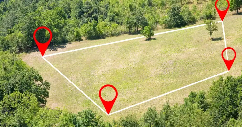
Boundary, parcel, and control-focused survey support for landowners, developers, planners, and due diligence teams.
Terrain capture with RTK and PPK workflows for contours, DSM, DTM, and grading decisions on civil and land development projects.
Recurring drone survey support for progress monitoring, earthwork verification, as-built records, and stakeholder reporting.
Boundary, parcel, and control-focused survey support for landowners, developers, planners, and due diligence teams.
Inspection-oriented drone capture for plants, rooftops, solar sites, and other asset-heavy environments where visual condition data matters.
Photogrammetry workflows for orthomosaics, GIS layers, 3D surfaces, and planning-ready basemaps that move cleanly into design tools.
Comprehensive drone survey services available across all our service locations.

RTK and PPK terrain capture | contours, DSM, DTM, and sections
Topographic
Terrain capture with RTK and PPK workflows for contours, DSM, DTM, and grading decisions on civil and land development projects.

Construction monitoring | progress tracking and earthwork verification
Construction
Recurring drone survey support for progress monitoring, earthwork verification, as-built records, and stakeholder reporting.

Land and property survey | boundaries, parcels, and geo-referenced outputs
Land Survey
Boundary, parcel, and control-focused survey support for landowners, developers, planners, and due diligence teams.

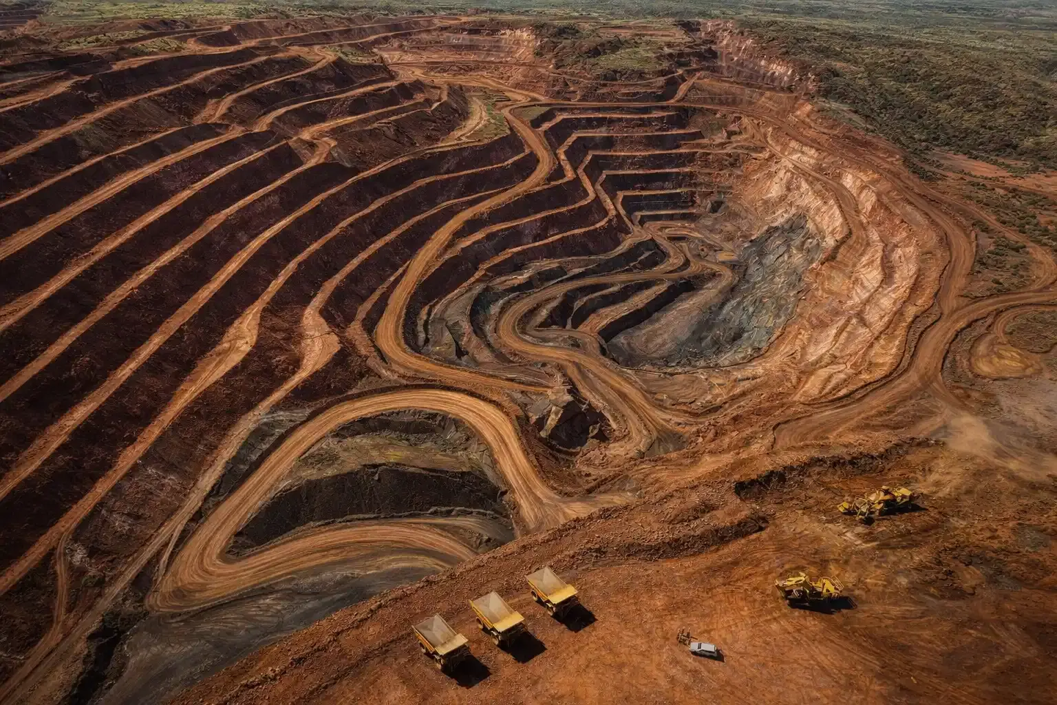
Mining survey | volumes, terrain change, and compliance support
Mining Survey
Stockpile, pit, and terrain analytics for production planning, reconciliation, compliance reporting, and change measurement.

LiDAR survey | classified point clouds and bare-earth terrain
LiDAR
Bare-earth terrain capture and classified point clouds for vegetated, difficult, or corridor-heavy sites that need higher-confidence elevation data.

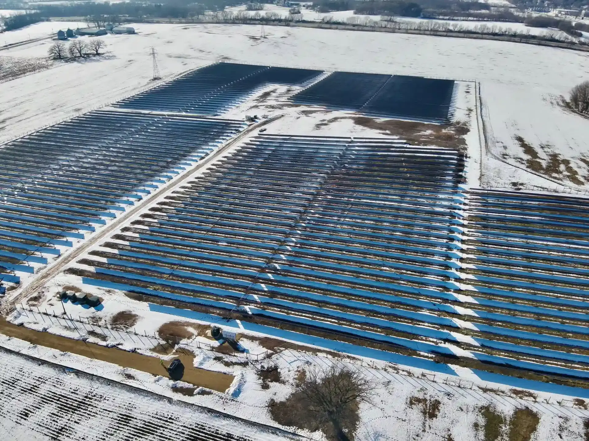
Inspection workflows | industrial and solar asset visibility
Inspection
Inspection-oriented drone capture for plants, rooftops, solar sites, and other asset-heavy environments where visual condition data matters.
LiDAR Survey services available in other cities across Rajasthan.
LiDAR Survey
View LiDAR Survey services available in Jaipur, Rajasthan.
LiDAR Survey
View LiDAR Survey services available in Jodhpur, Rajasthan.
LiDAR Survey
View LiDAR Survey services available in Udaipur, Rajasthan.
LiDAR Survey
View LiDAR Survey services available in Kota, Rajasthan.
LiDAR Survey
View LiDAR Survey services available in Ajmer, Rajasthan.
LiDAR Survey
View LiDAR Survey services available in Bikaner, Rajasthan.
Common questions about lidar survey services, timelines, and deliverables.
Given Sikar's semi-arid shekhawati plain terrain, this typically includes point cloud, bare-earth dtm, corridor surfaces, plus any additional outputs shaped by local site conditions — semi-arid dust and heat.
In Sikar, standard DGCA compliance applies. After field capture, processed outputs are delivered within 48 to 72 hours depending on area, terrain complexity, and output package.
For most lidar survey work in Sikar's semi-arid shekhawati plain terrain, photogrammetry delivers strong results. LiDAR becomes the better choice when you need bare-earth DTMs under vegetation, higher point density for complex surfaces, or corridor-level terrain data where canopy or structural obstruction is a factor.
In Sikar, the primary demand for lidar survey comes from copper mining, solar energy projects, heritage conservation projects. Mining site surveys, solar park documentation, and heritage haveli conservation mapping.
Share the site location, scope, and expected outputs. We will align the right capture and delivery workflow for your project.