
3 cities | 7 service types

Drone Survey Services and Aerial Mapping Across Meghalaya

All Services
SurveillanceLiDARPhotogrammetryLand Survey
Infrastructure corridor captured from a drone for repeat monitoringLiDAR survey visualization showing point cloud and terrain modelDrone photogrammetry output for terrain and planning workflowsDrone image of land parcel and urban property survey areaDrone mapping output showing detailed site layout
Site and corridor monitoring | repeat capture with date comparison
3+
cities
7
services

Explore drone survey services and aerial mapping across Meghalaya. Browse available drone surveying and mapping services and select your city from Shillong, Tura, Jowai to view detailed local service information.

Most Requested Drone Mapping Services in Meghalaya

Popular drone survey and aerial mapping services available across multiple cities in Meghalaya.

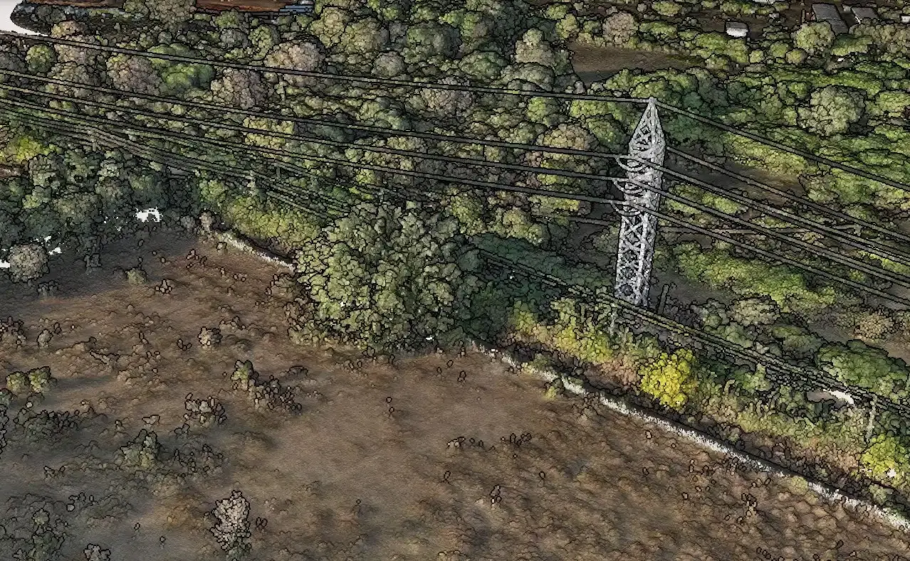
Infrastructure corridor captured from a drone for repeat monitoring

Site and corridor monitoring | repeat capture with date comparison

Drone Surveillance

Drone Surveillance in Meghalaya

Scheduled repeat aerial capture that builds a date-stamped visual record of a site, boundary, or corridor so change, encroachment, and progress can be compared pass to pass. Available in 3 cities across Meghalaya.

3 cities
Date-stamped orthomosaicsChange comparisonEncroachment log

Available in

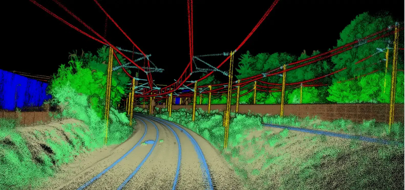
LiDAR survey visualization showing point cloud and terrain model

LiDAR survey | classified point clouds and bare-earth terrain

LiDAR Survey

LiDAR Survey in Meghalaya

Bare-earth terrain capture and classified point clouds for vegetated, difficult, or corridor-heavy sites that need higher-confidence elevation data. Available in 3 cities across Meghalaya.

3 cities
Point cloudBare-earth DTMCorridor surfaces

Available in

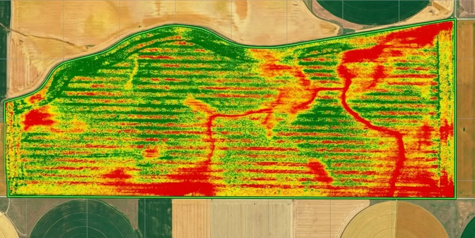
Drone photogrammetry output for terrain and planning workflows

Photogrammetry outputs | orthomosaics, surfaces, and GIS layers

GIS Mapping

GIS Mapping in Meghalaya

Photogrammetry workflows for orthomosaics, GIS layers, 3D surfaces, and planning-ready basemaps that move cleanly into design tools. Available in 2 cities across Meghalaya.

2 cities
Orthomosaic3D surfaceGIS exports

Available in

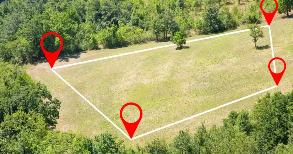
Drone image of land parcel and urban property survey area

Land and property survey | boundaries, parcels, and geo-referenced outputs

Land Survey

Land Survey in Meghalaya

Boundary, parcel, and control-focused survey support for landowners, developers, planners, and due diligence teams. Available in 2 cities across Meghalaya.

2 cities
Boundary mappingArea reportsControl support

Available in

Drone image of land parcel and urban property survey area

Land and property survey | boundaries, parcels, and geo-referenced outputs

DGPS Survey

DGPS Survey in Meghalaya

Boundary, parcel, and control-focused survey support for landowners, developers, planners, and due diligence teams. Available in 1 city across Meghalaya.

1 cities
Boundary mappingArea reportsControl support

Available in

Drone mapping output showing detailed site layout

Drone mapping | precision mapping for engineering and planning

Drone Mapping

Drone Mapping in Meghalaya

Precision drone mapping for engineering projects, urban planning, and asset management with survey-grade accuracy. Available in 1 city across Meghalaya.

1 cities
OrthomosaicSurface modelSite measurements

Available in

Why Choose Aeroyantra Drone Survey Services in Meghalaya

Professional drone surveying and mapping services with comprehensive aerial survey coverage across Meghalaya.

Comprehensive Service Coverage

Access detailed information about drone survey services and aerial mapping available in your city and across the state.

Multiple Service Categories

Wide range of specialized drone mapping and surveying services tailored to different industry needs.

Easy Navigation

Find the right service for your location quickly with our organized state and city pages.

City Drone Survey Service Hubs in Meghalaya

Expand a city to view all available drone surveying and mapping services in that location.

Shillong

Drone SurveillanceDrone SurveyLand SurveyLiDAR Survey

Tura

Drone MappingDrone SurveillanceLand SurveyLiDAR Survey

Jowai

Drone SurveillanceLiDAR Survey

Meghalaya Coverage FAQs

Which cities in Meghalaya does Aeroyantra serve?

Aeroyantra currently provides drone survey services across 3 cities in Meghalaya, including Shillong, Tura, Jowai. Each city has dedicated service information tailored to local requirements.

Which services are most prominent in Meghalaya?

The most requested services in Meghalaya include Drone Surveillance, LiDAR Survey, GIS Mapping. Browse our service categories to find detailed information about each offering.

How can I find the right service for my project in Meghalaya?

Start by selecting the service category that matches your project needs, then choose your city to view specific service details, deliverables, workflows, and pricing information.

Planning Survey Work in Meghalaya?

Share your project location, scope, and requirements. We will recommend the best drone survey solution for your needs.

Professional consultation
Customized service recommendations
48-72 hour delivery windows
DGCA-certified field workflows