logo
Kashipur, Uttarakhand

Solar Plant Inspection Services in Kashipur, Uttarakhand

All Services
Inspection imageryAnnotated findingsAsset context
Industrial and solar site captured from drone for inspection in Kashipur, Uttarakhand
Inspection workflows | industrial and solar asset visibility | Kashipur, Uttarakhand
2-5 cm
accuracy band
48-72h
typical delivery
DGCA
certified pilots

Aeroyantra provides solar plant inspection and drone mapping services in Kashipur, Uttarakhand with DGCA-certified pilots, survey-grade aerial survey processing, and fast delivery for engineering, infrastructure, and industrial teams.

Why Solar Plant Inspection Matters in Kashipur, Uttarakhand

A growing industrial town in the Terai with a mix of agro-processing industries, emerging SEZs, and surrounding sugarcane fields. Foothills visible to the north.

SEZ land surveys, industrial expansion mapping, and highway corridor documentation.

Drone inspection in Kashipur supports maintenance and asset management teams working with industrial plants, commercial rooftops, transmission infrastructure, and solar installations within the semi-urban terai with mixed land use environment. Geo-tagged visual and thermal captures provide the documentation needed for condition assessment, maintenance planning, and safety compliance reporting.

Terrain: Semi-urban Terai with mixed land use

Why Teams in Kashipur Choose Aeroyantra

Kashipur has active demand from agro-processing industry and paper and sugar mills — sectors where solar plant inspection outputs directly support planning, execution, and reporting workflows.

Dense urban development in Kashipur makes ground-only surveys slow and incomplete. Aerial capture provides comprehensive top-down visibility of sites, structures, and infrastructure with minimal disruption.

Local conditions include dense sugarcane fields limiting ground accessibility. Our team plans for these factors in advance, adjusting flight parameters, timing, and control workflows to ensure consistent output quality.

Airspace and Compliance

Standard DGCA compliance; forest department NOCs required in many areas; sensitive border zones in the north.

Delivery Timeline

Standard turnaround after field capture is 48-72 hours. Mobilization and clearance timelines depend on site access and area-specific approval requirements.

Solar Plant InspectionNorth India

What teams in Kashipur usually need from drone survey and mapping services

Inspection-oriented drone capture for plants, rooftops, solar sites, and other asset-heavy environments where visual condition data matters. This page provides detailed information about solar plant inspection drone surveying and mapping services available in Kashipur, Uttarakhand.

Geo-tagged visual documentation with repeatable site coverage.

Issue identification support for maintenance, EPC, and owner teams.

Mapped observations packaged for asset review and planning discussions.

Fast reporting workflow for distributed sites and operational teams.

Best fit for

Solar EPC

Industrial plants

Condition review

View full service details

Open Industrial and Inspection Survey

Industries We Support

Typical project teams that benefit from solar plant inspection in Kashipur.

Utilities and Energy

Supports inspection, route visibility, and mapped data needs across distributed assets.

Infrastructure Projects

Mapped outputs for planning, coordination, and execution across large project footprints.

Engineering Teams

Decision-ready datasets that help consultants and execution teams move faster with less rework.

Asset Owners

Clear visuals and measured outputs for reporting, review, and operational planning.

How The Engagement Works

A practical five-step workflow from first brief to final delivery.

01

Requirement Mapping

We define scope, accuracy needs, terrain constraints, and the final outputs your team needs.

02

Flight Planning

Our team prepares mobilization, safety checks, and the mission plan suited to site conditions.

03

Field Capture

DGCA-compliant pilots capture the site with the right sensors, overlap, and control workflow.

04

Processing and QA

Data is processed, checked, and packaged into survey-ready outputs with internal QA.

05

Delivery and Support

You receive files, summaries, and follow-up support for project teams, consultants, or clients.

Other Services in Kashipur

Additional drone survey services available in Kashipur.

Explore Our Core Survey Capabilities

Comprehensive drone survey services available across all our service locations.

Topographic survey drone image showing terrain and land development

RTK and PPK terrain capture | contours, DSM, DTM, and sections

Topographic

Topographic Survey

Terrain capture with RTK and PPK workflows for contours, DSM, DTM, and grading decisions on civil and land development projects.

Civil designDrainage planningLand development
ContoursDSM / DTMCross-sections
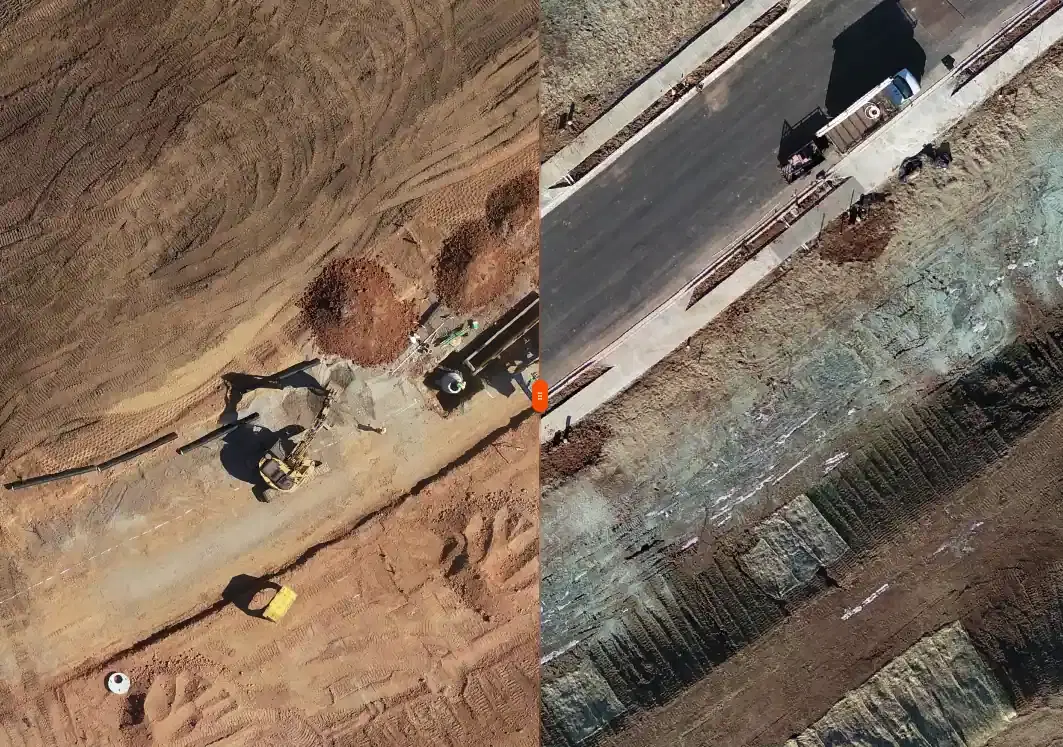
Construction site viewed from drone for progress tracking

Construction monitoring | progress tracking and earthwork verification

Construction

Construction Survey and Monitoring

Recurring drone survey support for progress monitoring, earthwork verification, as-built records, and stakeholder reporting.

Monthly monitoringBilling verificationRERA reporting
Progress reportsCut/fill mapsAs-built evidence
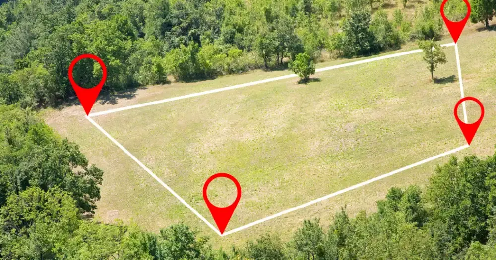
Drone image of land parcel and urban property survey area

Land and property survey | boundaries, parcels, and geo-referenced outputs

Land Survey

Land and Property Survey

Boundary, parcel, and control-focused survey support for landowners, developers, planners, and due diligence teams.

Land acquisitionRERA layoutsSite planning
Boundary mappingArea reportsControl support
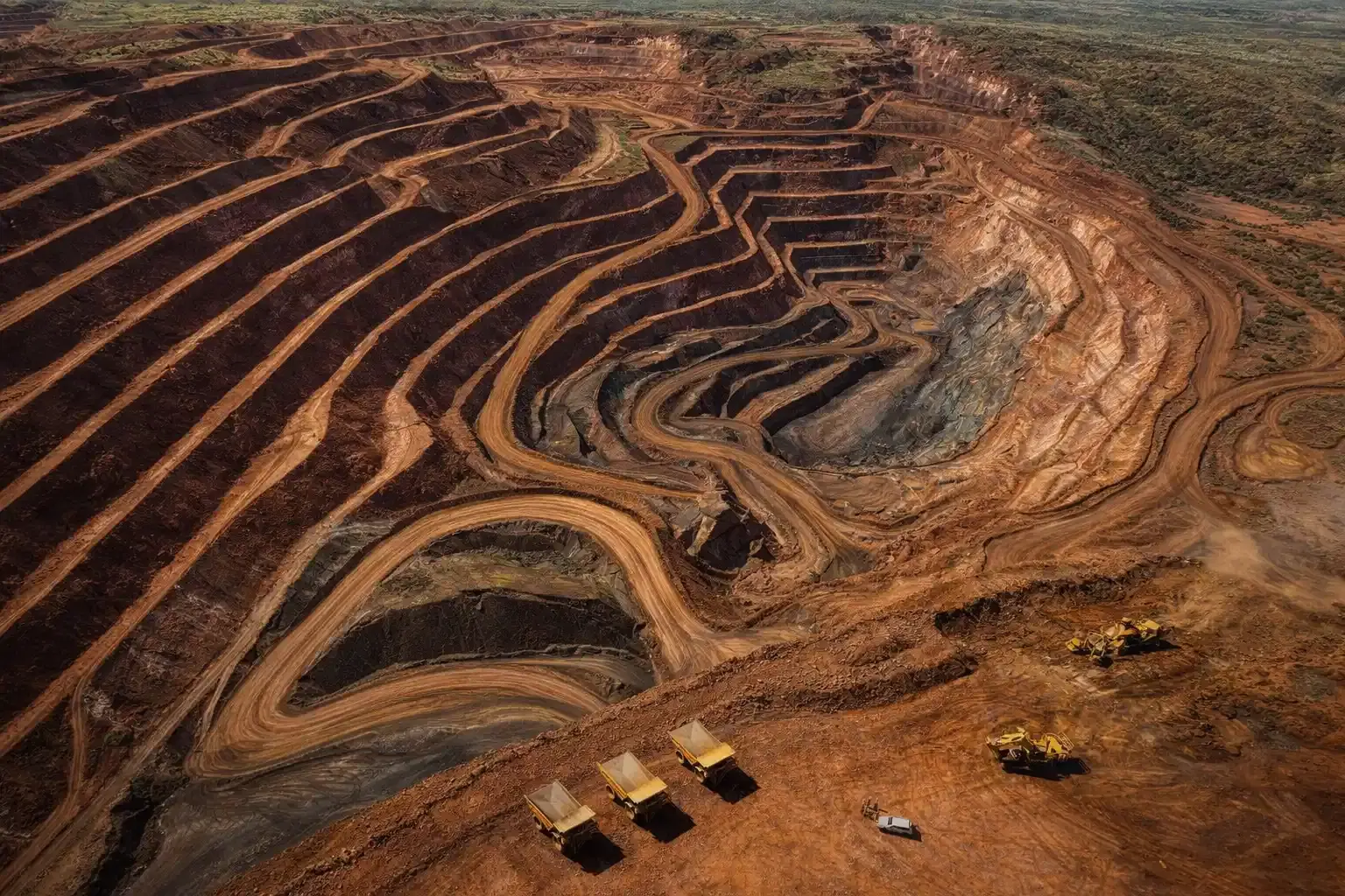
Aerial drone view of active mining and quarry operations

Mining survey | volumes, terrain change, and compliance support

Mining Survey

Mining and Volumetric Survey

Stockpile, pit, and terrain analytics for production planning, reconciliation, compliance reporting, and change measurement.

IBM Rule 34AStockpile auditsEarthwork reconciliation
Volume reportsPit progressionCompliance maps
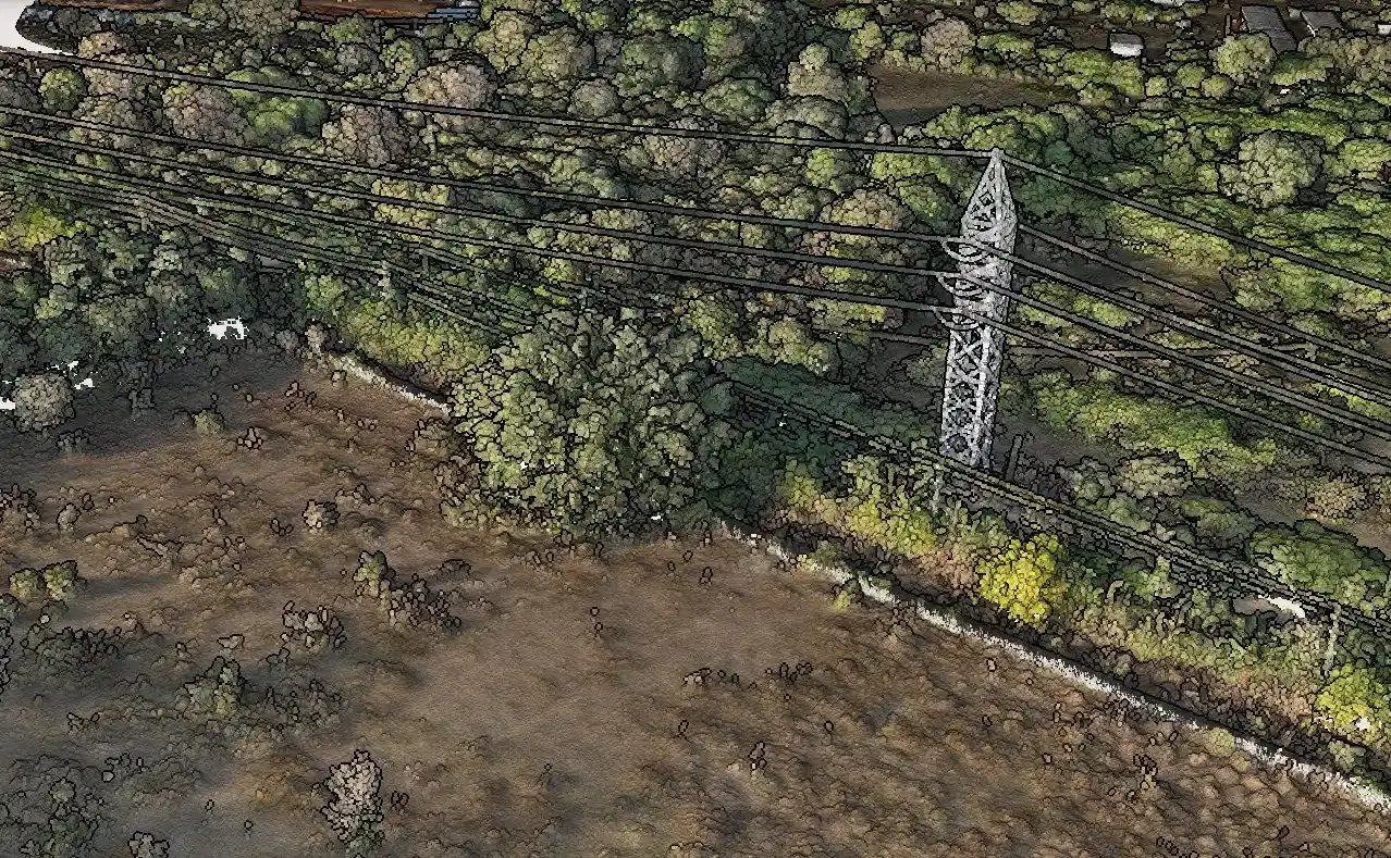
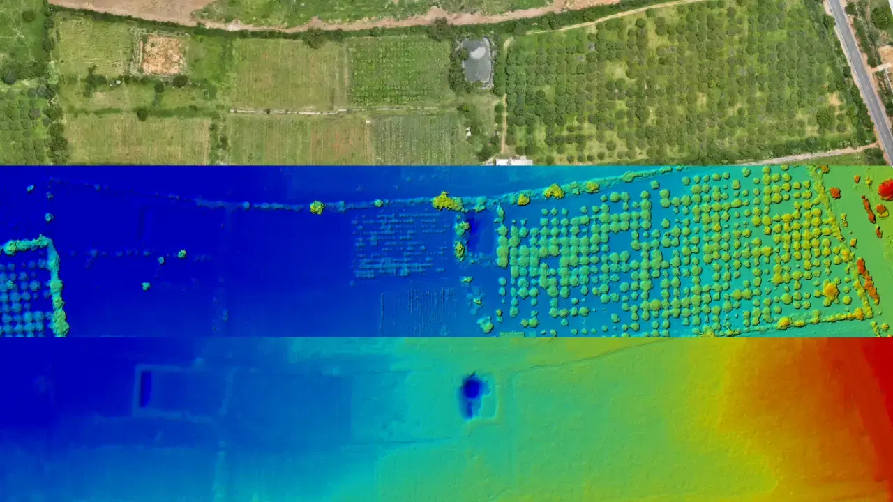
LiDAR survey visualization showing point cloud and terrain model

LiDAR survey | classified point clouds and bare-earth terrain

LiDAR

LiDAR Survey

Bare-earth terrain capture and classified point clouds for vegetated, difficult, or corridor-heavy sites that need higher-confidence elevation data.

Vegetated terrainLinear infrastructureDense sites
Point cloudBare-earth DTMCorridor surfaces
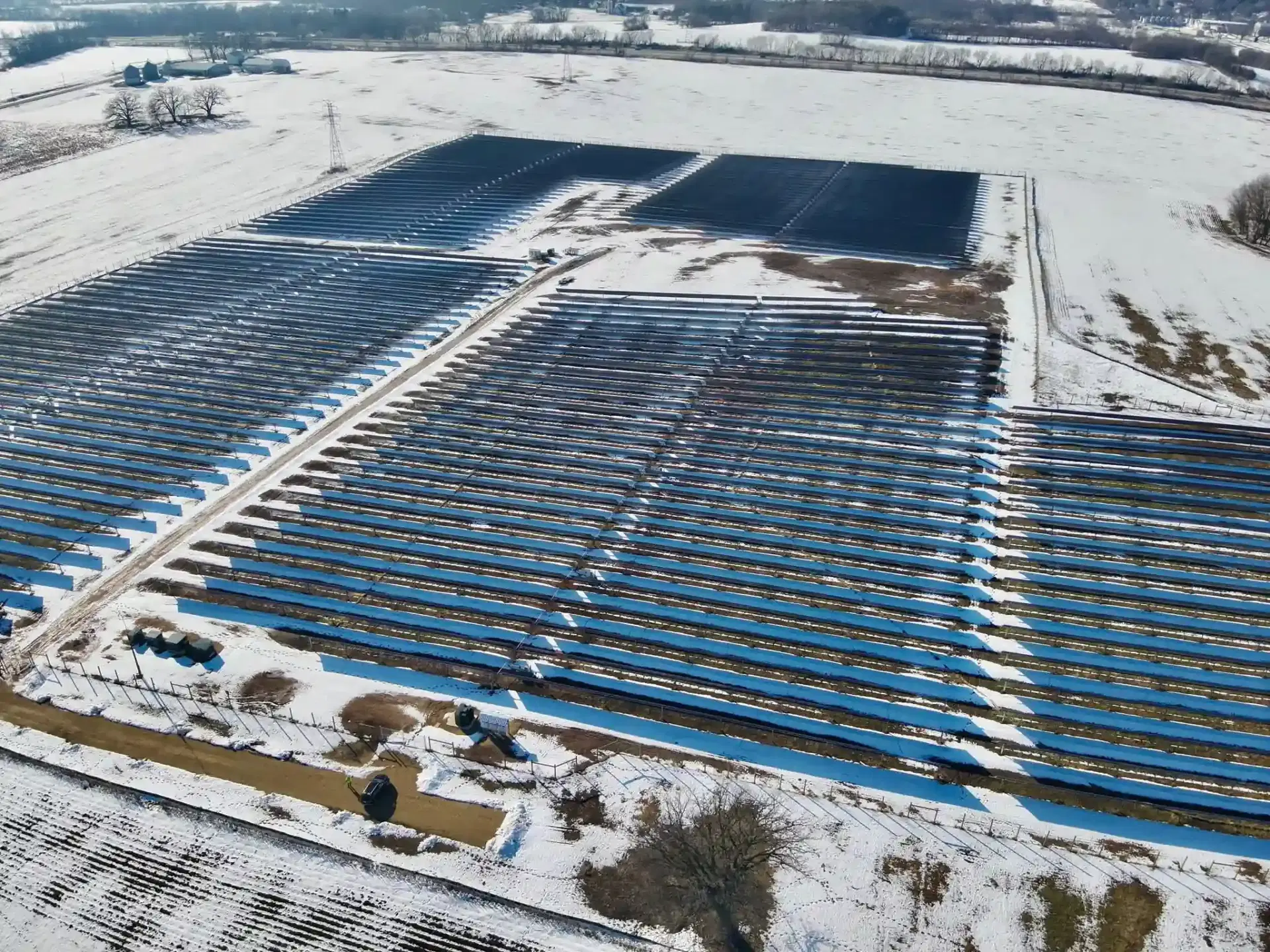
Industrial and solar site captured from drone for inspection

Inspection workflows | industrial and solar asset visibility

Inspection

Industrial and Inspection Survey

Inspection-oriented drone capture for plants, rooftops, solar sites, and other asset-heavy environments where visual condition data matters.

Solar EPCIndustrial plantsCondition review
Inspection imageryAnnotated findingsAsset context

Nearby Cities for Solar Plant Inspection

Solar Plant Inspection services available in other cities across Uttarakhand.

FAQs for Solar Plant Inspection in Kashipur

Common questions about solar plant inspection services, timelines, and deliverables.

What does Solar Plant Inspection in Kashipur include?

Given Kashipur's semi-urban terai with mixed land use terrain, this typically includes inspection imagery, annotated findings, asset context, plus any additional outputs shaped by local site conditions — dense sugarcane fields limiting ground accessibility.

How long does solar plant inspection take in Kashipur?

In Kashipur, standard DGCA compliance applies. After field capture, processed outputs are delivered within 48 to 72 hours depending on area, terrain complexity, and output package.

Should teams in Kashipur use LiDAR or photogrammetry?

For most solar plant inspection work in Kashipur's semi-urban terai with mixed land use terrain, photogrammetry delivers strong results. LiDAR becomes the better choice when you need bare-earth DTMs under vegetation, higher point density for complex surfaces, or corridor-level terrain data where canopy or structural obstruction is a factor.

Which industries in Kashipur use solar plant inspection most?

In Kashipur, the primary demand for solar plant inspection comes from agro-processing industry, paper and sugar mills, emerging sez development projects. SEZ land surveys, industrial expansion mapping, and highway corridor documentation.

Need Solar Plant Inspection in Kashipur?

Share the site location, scope, and expected outputs. We will align the right capture and delivery workflow for your project.

DGCA-certified field operations
Survey-grade QA workflow
48-72 hour delivery window
Professional consultation and support