


Aerial survey | wide-area coverage and infrastructure mapping
Aerial Survey
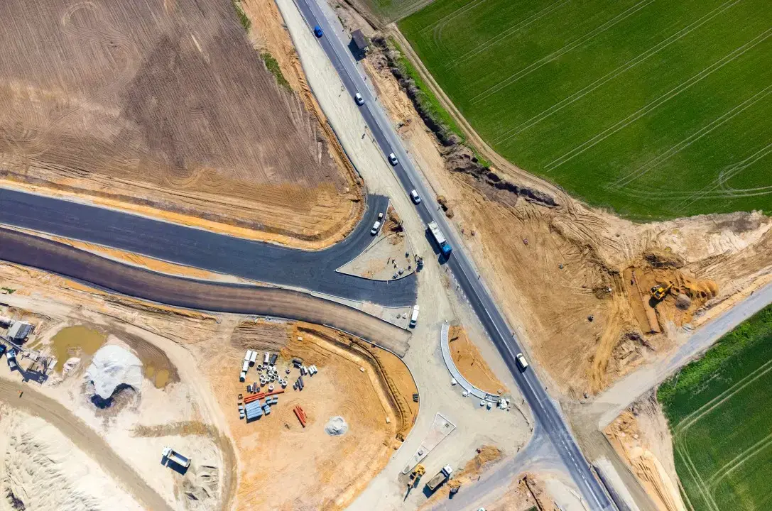
Aerial Survey in Nagaland
Comprehensive aerial survey coverage for large-scale site documentation, terrain analysis, and infrastructure planning workflows. Available in 3 cities across Nagaland.
3 cities
OrthomosaicSurface modelSite measurements
Available in
