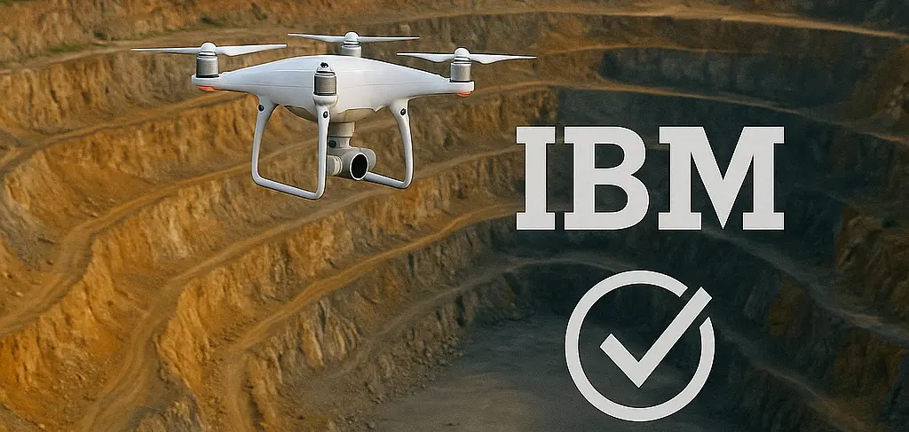
Staying Compliant: How Drone Technology Meets Indian Bureau of Mines (IBM) Regulations

For mining operators in India, navigating the regulatory landscape set by the Indian Bureau of Mines (IBM) is paramount. The days of manual surveys and paper-based reports are over. The IBM has ushered in a new era of digital compliance, mandating the use of advanced technologies to ensure mine planning is safe, scientific, and environmentally sound.
The introduction of drone survey requirements has been a significant shift. While this presents a challenge for mines relying on traditional methods, it offers a massive opportunity for efficiency and accuracy. Understanding these rules is the first step; implementing them effectively is the key to seamless compliance and smarter mining.
The Digital Mandate: Understanding Rule 34A
The cornerstone of the IBM's digital push is Rule 34A of the Mineral Conservation and Development Rules (MCDR), 2017. This rule makes drone surveys mandatory for a significant portion of the Indian mining sector.
Specifically, the rule applies to lessees with:
- An annual excavation plan of 1 million tonnes or more, OR
- A leased area of 50 hectares or more.
These mines are required to conduct a drone survey of their entire leased area, plus a 100-meter buffer zone outside the lease boundary, every year. This data must be submitted to the IBM by the specified deadline. The goal is to create a precise, time-stamped digital record for better supervision, mine planning, and environmental monitoring.
Key Compliance Deliverables: What the IBM Expects
Simply flying a drone is not enough. The IBM's Standard Operating Procedures (SOPs) specify the exact data outputs, formats, and accuracy levels required. Failure to meet these standards can result in non-compliance.
High-Resolution Orthomosaics & 3D Models
The primary deliverables are high-resolution, georeferenced orthomosaic maps and 3D models (DSM/DTM). These provide a detailed, top-down view and a precise 3D representation of the site, which are used to verify site conditions and track changes over time.
Accurate Volumetric and Feature Data
One of the key uses of this data is for accurate reporting. The IBM requires detailed maps showing:
- Areas of excavation (pits and quarries)
- Waste dumps and topsoil stacks
- Backfilled and reclaimed areas
- Infrastructure, roads, and railways
- Afforestation areas
These features must be submitted in standard GIS formats (like .shp shapefiles), and stockpile volumes must be calculated with high precision.
Verifiable Accuracy Reports
To ensure data integrity, the IBM mandates the use of Ground Control Points (GCPs) established with DGPS or Total Stations. A detailed report, including the Root Mean Square Error (RMSE) of the survey, must be submitted to prove that the data meets the required accuracy thresholds.
Common Compliance Pitfalls to Avoid
Inadequate Data Accuracy
Submitting data that wasn't captured with proper ground control is a common mistake. Without GCPs or an RTK/PPK-enabled drone, the model may look good, but it won't be dimensionally accurate, leading to rejection by the IBM.
Incorrect Data Formats
The IBM has very specific requirements for file formats (GeoTIFF, SHP, etc.) and coordinate systems (UTM, WGS-84). Submitting data in the wrong format is a simple but critical error that can halt your compliance process.
Incomplete Survey Coverage
Forgetting to survey the mandatory 100-meter buffer zone outside the lease boundary is another frequent oversight that leads to incomplete and non-compliant submissions.
Choosing the Right Solution: The Aeroyantra Advantage
Navigating these complex requirements demands more than just a drone; it requires a robust data processing and reporting platform. This is where Aeroyantra provides a critical advantage for Indian mining companies.
End-to-End IBM Compliance Workflow
Aeroyantra's platform is designed specifically to meet the challenges of IBM compliance. We provide an end-to-end solution that transforms raw drone data into the exact, audit-proof deliverables the IBM requires.
Automated, Standardized Outputs
Forget manual conversions and formatting errors. Our cloud-based engine automatically generates all necessary outputs—orthomosaics, DSMs, volume calculations, and feature shapefiles—in the precise formats and coordinate systems stipulated by the IBM.
Guaranteed Accuracy and Auditable Records
Our platform's workflow incorporates GCPs to ensure survey-grade accuracy. All processed data is stored securely, creating an easily accessible digital archive for all past surveys—perfect for demonstrating a history of compliance. The pay-per-use model also eliminates the need for expensive annual software licenses, making it a cost-effective solution for mines of all sizes.
The Future of Mining Compliance is Digital
The IBM's regulations are clear: the future of Indian mining is digital, transparent, and data-driven. Embracing this shift isn't just about avoiding penalties; it's about operating a more efficient, productive, and safer mine. Platforms like Aeroyantra act as a bridge, simplifying complex technical requirements and empowering mine operators to focus on what they do best.
Ensure your mining operations are fully compliant with the latest IBM regulations. Get in touch with Aeroyantra to see how our platform can streamline your reporting and de-risk your compliance workflow.